
Katnampatti malai is a small hill near Krishnagiri town, reached by stone steps that begin at a Murugan temple trailhead tucked behind a compound wall. The climb runs up the eastern face, which faces the morning sun and heats quickly. Partway up, the trail turns west: the traffic noise from the Chennai-Krishnagiri highway, audible and persistent on the eastern side, drops away entirely. The western slope opens onto farmlands, village ponds, and low hills. The summit is a flat plateau with boulders that work as natural viewpoints. An Anjaneyar temple sits near the plateau entrance; a Murugan shrine stands further in, a recent addition not visible in older satellite imagery of the hill. From the plateau's western end, Krishnagiri hill and Kusumalai hills are clearly visible. Periyamalai and Bolumalai appear from the eastern approach. The hill suits a late-afternoon or sunset outing rather than a midday climb.

Bolumalai Fort rises to 1,035 metres on a granite ridge in the Eastern Ghats, roughly 88 kilometres south-east of Bengaluru in Krishnagiri district. A Perumal temple and the ruins of the old fort stand at the summit, with Krishnagiri dam visible in the valley below alongside the surrounding plateau. The approach road from the base village passes through mango orchards and paddy fields before reaching the marked trailhead, where trekkers park and continue on foot. The offroad track now draws a large weekend crowd of adventure motorcycles from across the region; two-wheelers can ride all the way to the top, while four-wheelers use a dedicated parking area below the summit. Local villagers manage an informal toll at the crossing point, collecting a small fee per vehicle. The trekking route follows a distinct trail from the marked trailhead to the summit through dry deciduous scrub. Weekends bring significant crowds, particularly among the biking community; weekday mornings are considerably quieter and allow a more contemplative visit to the fort ruins and temple. The combination of a proper trekking trail and a driveable summit route makes Bolumalai one of the more accessible hill forts in the Krishnagiri hills.
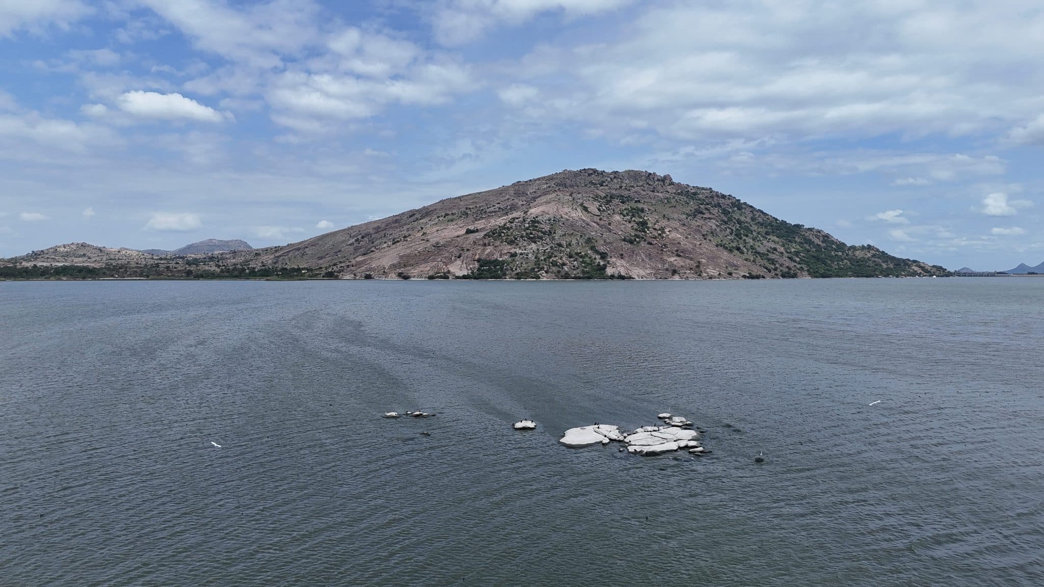
Narasimha Malai is a hill in Krishnagiri district that takes its name from the Narasimha Swamy Perumal temple on its slopes. The trail begins at a small roadside shrine, follows a concrete road, then climbs stone-cut steps to the temple. A small water body and a cave-like rock hollow sit just beyond the temple to the right. The hill carries no large canopy trees and no fixed trail to the summit; the open terrain allows a direct line to the top. The base is monolithic granite that breaks into uneven, climbable sections on the ascent. A band of noticeably greener vegetation partway up marks a water source in the hill. The summit is a broad, open plateau. A Pillayar shrine occupies the top of the highest rock but is reachable only by a technical climb. The KRS reservoir backwaters are visible from the trailhead; the full dam face opens from the summit, and this hill is one of the landmarks identifiable from the dam itself. Bolumalai, Machakal, Krishnagiri fort, Thalapalli, Periyamalai, and Rayakottai are all visible on a clear day. Rock paintings are marked on Google Maps in the area. A saddle beyond the main summit leads to a secondary peak.
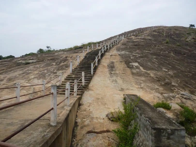
Devarabetta is a granite monolith on the Karnataka-Tamil Nadu border, its base enclosed by the Shri Rudra Muneshwara Swamy Temple and its summit reached by a stairway. The hill's name translates to "God's Hill" in Kannada. The monolith is one of several isolated granite outcrops in this part of the Deccan, rising abruptly from the surrounding plateau. The stairway ascends the rock face from the base of the rock, gaining 65 metres to the Sri Malleswara Swami Gudi shrine at the highest point. The hill sits at the forest edge: the canopy extends beyond the summit, and the small access village is visible in the foreground from the top. The approach road through the village carries no signboards: the temple compound at the base of the rock is the only landmark to navigate by. The area lies within the wildlife corridor linking Bannerghatta to the Cauvery basin; elephant movement through the surrounding forest is periodically reported.
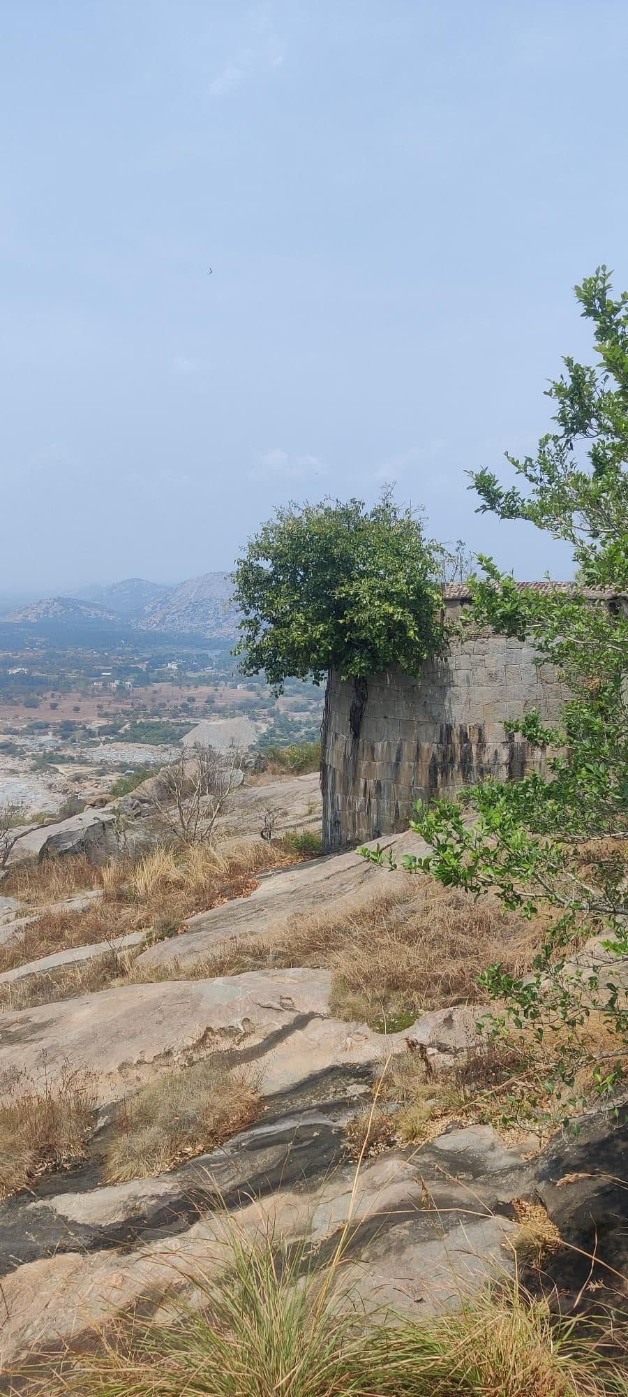
Krishnagiri Fort is a short hill trek that combines a steady climb with the remains of a historic hill fort. The fort is prominently visible from the Krishnagiri tollgate, rising above the surrounding landscape and offering a glimpse of the climb ahead.
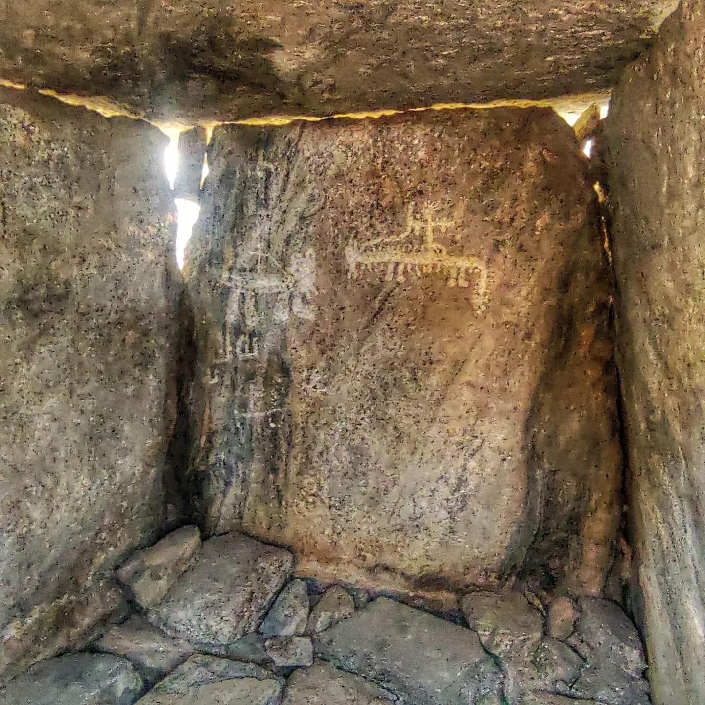
Mallachandram is an easy trail centred on a large collection of megalithic burial structures distributed across two rocky hills in three clusters. The trail begins through a shaded forest before climbing onto the rocky slopes, where the dolmens become the main feature of the landscape. Several structures contain remnants of ancient rock paintings or engravings, although some have been vandalised. The best-preserved paintings are found inside a dolmen on the eastern hill. The site contains a large number of dolmens, with some estimates suggesting several hundred structures across the two hills.
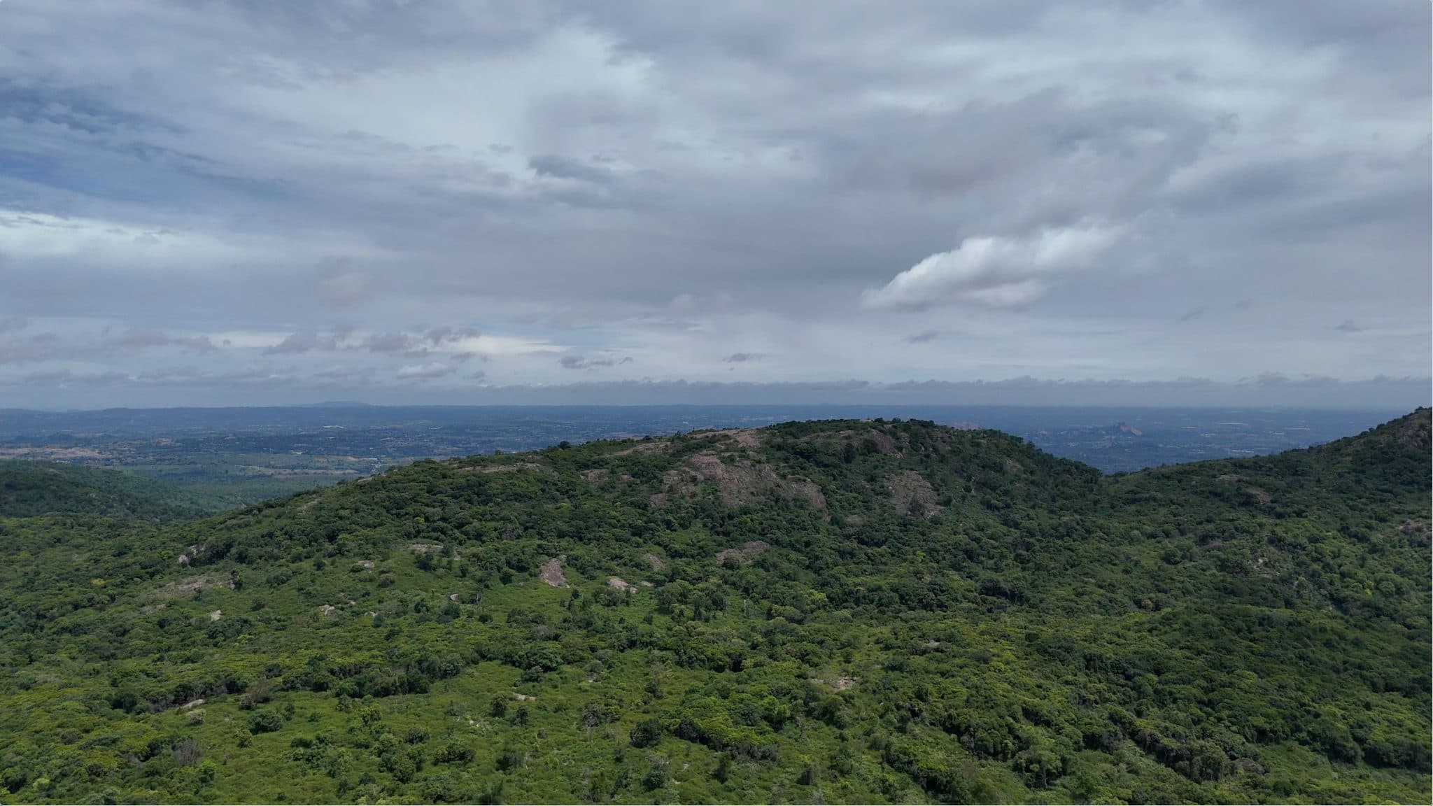
The trail passes through dense forest that remains green even during the peak of summer, unlike many trails around Bengaluru that become dry during this season. Wildlife activity is evident throughout the route, with elephant dung, wild boar diggings, and signs of gaurs commonly observed. Several shortcuts branch off the main trail, passing through dense undergrowth that gives parts of the hike a more enclosed forest character. The trail ends at the Ayyapaswamy Temple on the summit, where the surrounding landscape is covered by uninterrupted forest in every direction, reinforcing the area's remote setting despite the well-defined trail.
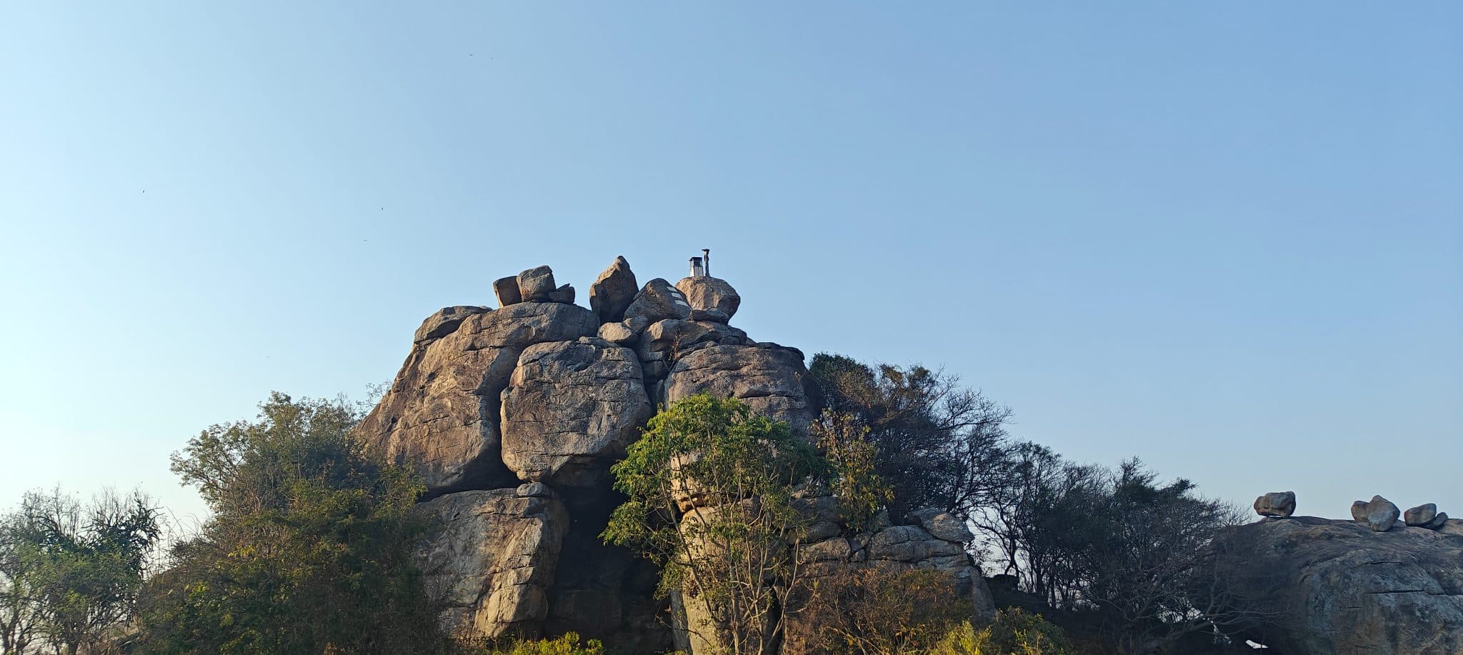
Puliyarasi Hill, also known as Chakkarlu Hills, is a granite hill near Shoolagiri that can be reached by a short climb from the base. The trail ascends over exposed rock to the summit, with only a brief stretch of hiking before reaching the top. From the summit, the hill provides unobstructed 360-degree views of the surrounding landscape. A Shiva temple built beneath a large overhanging boulder, giving it the appearance of a cave, is an important landmark along the route. Its proximity to Bengaluru and the short ascent make it a relatively less-visited hill compared to other hikes in the region.
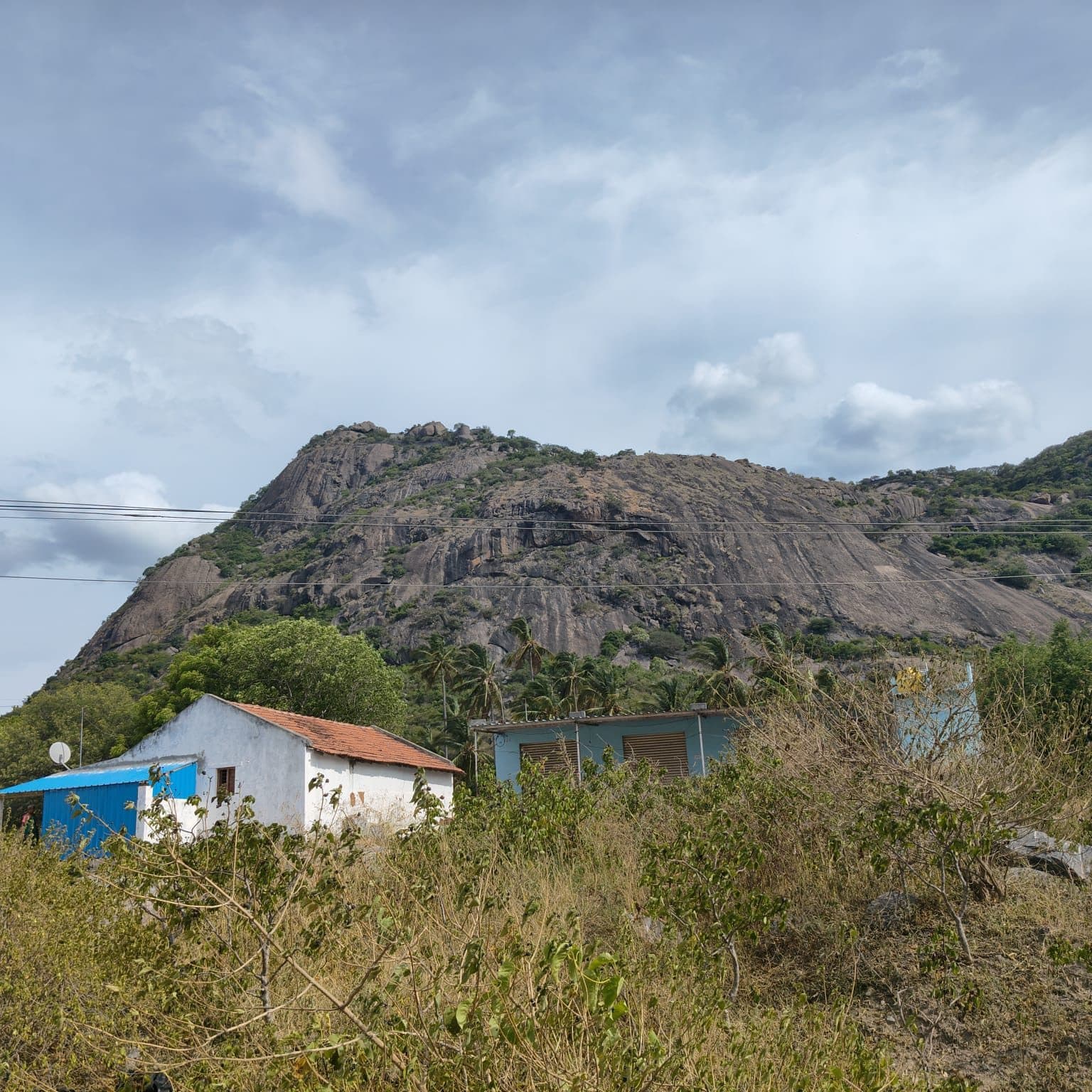
Jagadevi Fort is one of the historic Baramahal forts in the Krishnagiri region. Built by Jagadevaraya during the Vijayanagara period, the fort spans three adjoining hilltops and preserves substantial stretches of its defensive walls, gateways, bastions, and other masonry. The trail climbs through scrub-covered slopes interspersed with rocky sections before reaching the lower fortifications. As the ascent continues, additional gateways, walls, and ruined structures appear across the hilltops, reflecting the fort's extensive defensive layout. The summit preserves further fort remains and offers views of the surrounding hills and plains.