About this trail#
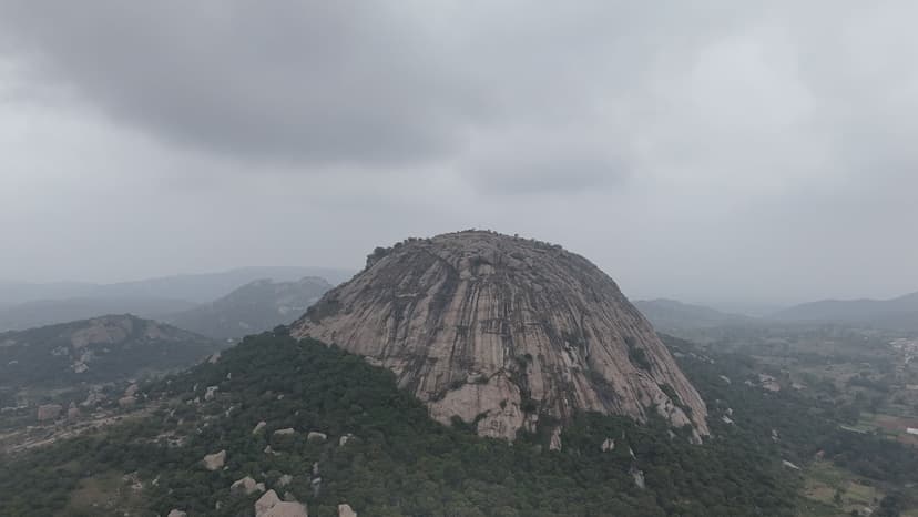
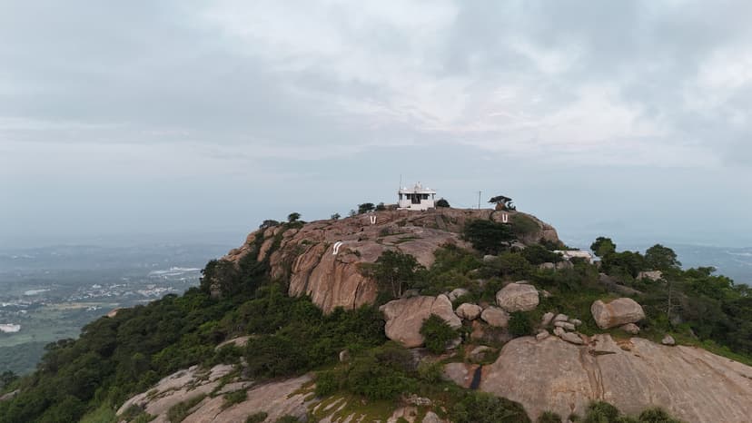
Jagadevi Fort is one of the historic Baramahal forts in the Krishnagiri region. Built by Jagadevaraya during the Vijayanagara period, the fort spans three adjoining hilltops and preserves substantial stretches of its defensive walls, gateways, bastions, and other masonry. The trail climbs through scrub-covered slopes interspersed with rocky sections before reaching the lower fortifications. As the ascent continues, additional gateways, walls, and ruined structures appear across the hilltops, reflecting the fort's extensive defensive layout. The summit preserves further fort remains and offers views of the surrounding hills and plains.
Trail Information#
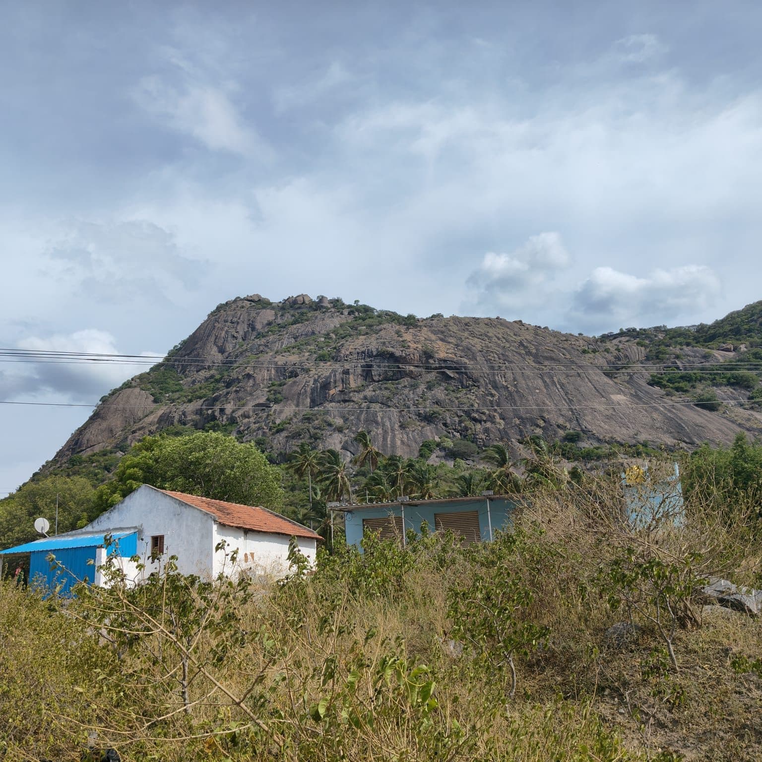
The trail begins from the roadside and follows a clear footpath through scrub vegetation. An Archaeological Survey of India information board marks the start of the historic site. The initial section is well-defined and includes rock-cut steps that continue until the junction for the Sri Netrikan Selva Vinayakar Temple on the right.
A second trail branches to the left, roughly following the overhead power line. A rock marked with a naamam helps identify this route. It leads to a Hanuman temple, beyond which the trail becomes faint and is rarely used, making navigation more challenging.
Continuing on the main route, the path climbs through dense scrub and thorny vegetation before passing the first line of fortifications. The trail then emerges onto a broad open rock section just below the plateau. This rock can be surprisingly slippery even in dry conditions. An alternate trail branches beside the large rock on the right and can be used to bypass the slippery slab before rejoining the main route on the plateau.
Beyond the plateau, the trail continues across the fort complex towards the three hilltops. Gateways, bastions, defensive walls, ruined masonry structures, and Kannada inscriptions are encountered along the way. The upper sections preserve additional fort remains, including water tanks and other masonry, illustrating the scale and defensive layout of Jagadevi Fort.
The vegetation along the trail consists of dense thorny scrub interspersed with cacti, particularly beyond the frequently visited sections. Full-sleeved clothing and full-length trousers help reduce scratches while passing through these stretches.
Getting there#
Trail route
Route flyby#
Preview the terrain before you go — a 3D fly-through of the full route.
Trail reports#
Trail conditions and experiences shared by hikers who've done this route
No trail reports yet
Be the first to share current conditions — trail state, crowd levels, water availability, or anything others should know before going.
GPX file#
Download the GPX route to use with your GPS device or hiking app. Learn how to use GPX files. To protect our trail data from bulk harvesting, downloads are limited to one per account per week.
Sign in to download
Create a free account to download the GPX file and use it with your GPS device or hiking app.