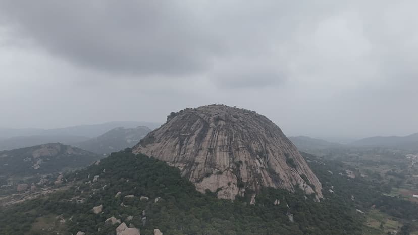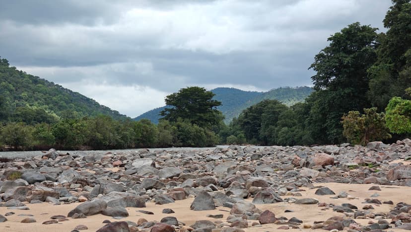

This was my fifth visit to the trail. It was considerably busier than my previous visits because it was a Saturday, with a steady inflow of devotees from around 10:30 am until about 4 pm. I spent some time in the small cave, where there was unusually strong airflow during this visit. I stayed there for quite a while before exploring the other sections of the trail. The eastern trail was still covered in dense vegetation and remained bushy.
Distance
2.06 km
Elevation gain
224 m
Route type
out-and-back
About this trail#
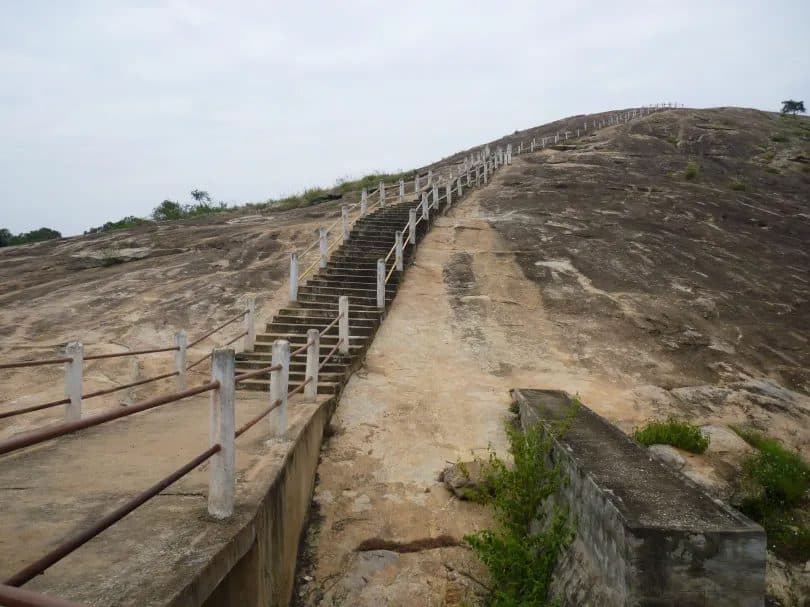
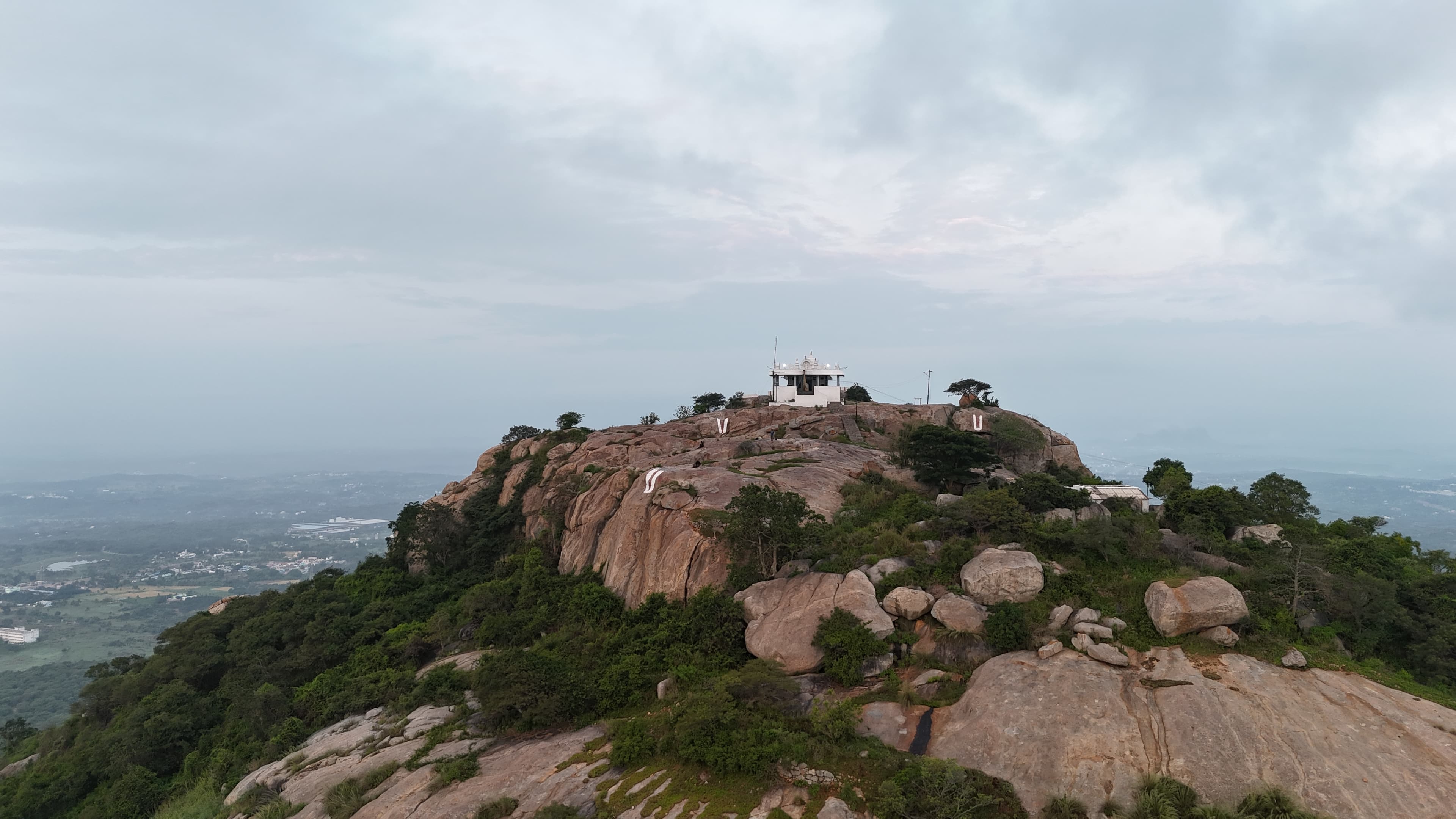
This trail has a perumal temple at the top of the peak. The temple is visible from the Bangalore -> Krishnagiri highway and is a sight to watch. From the peak one can see the highway. In the nights, the highway appears like a river of lights. In the right season one would see clouds pass through you as you stand in the peak. The temple is open only on Saturdays and a priest comes around 10AM. There are two trails to the peak one starting from the east side and the other the west side. East one is easy to climb and has stairs till the top. There is a water body in the top close to a cave like structure. Pilgrims take bath in this water body before proceddign to the temple. The trail from the east side has steps only at the beginning and later the trails is through the vegetation and is more raw.
Trail Information#
The trail begins with a long flight of stone steps leading steadily uphill to an Anjaneya Temple. Just beyond the temple, an arch marks the continuation of the route. A few hundred metres beyond the arch, the trail reaches the western side of the hill, where it splits into two branches.
The right branch leads to a small natural water body where devotees traditionally bathe before proceeding to the temple. The left branch continues with a short climb to the main temple at the summit. Both routes are well-defined, making navigation straightforward.
Getting there#
Trail route
Route flyby#
Preview the terrain before you go — a 3D fly-through of the full route.
Trail reports#
Trail conditions and experiences shared by hikers who've done this route

The trail was peaceful with very few people around. The greenery was beautiful, and the cool breeze made it a perfect place to relax.

We visited Bala Kodandaraya Swamy Temple on a clear morning after driving through villages and a short unpaved forest approach to the base of the hill. The climb followed well-laid stone steps through a forested section before reaching the temple arch, where the vegetation opened onto exposed granite with wide views of the surrounding valley. We explored a side path leading to a pond filled with blooming lilies at the base of a large rock face before continuing to the hilltop temple. At the summit, local devotees and the temple priest drew water from a natural rock cleft that serves as a perennial water source for the temple before the day's पूजा. We spent time exploring the summit and descended before the exposed rock heated up later in the morning.
Read the full write-up ↗GPX file#
Download the GPX route to use with your GPS device or hiking app. Learn how to use GPX files. To protect our trail data from bulk harvesting, downloads are limited to one per account per week.
🗺️
Sign in to download
Create a free account to download the GPX file and use it with your GPS device or hiking app.
Wildlife & Nature#
Porcupine quills have been found along the trail, indicating their presence in the surrounding forest. Signs of wild boar activity, including footprints and disturbed soil, are also occasionally visible. Small mammals may be encountered in the area. Farmers nearby are known to use loud sounds at night to keep wildlife away from their fields, suggesting an active wildlife presence in these hills. Exercise caution and be mindful of your surroundings while hiking.
Camping#
There is sufficient flat ground at the summit to pitch tents, and we have camped here ourselves. A natural water source is available nearby, and we did not observe any signs of large wildlife activity at the summit during our visit. The summit also provides clear night-time views of the highway below.