Distance
15.72 km
Elevation gain
104 m
Route type
out-and-back
About this trail#
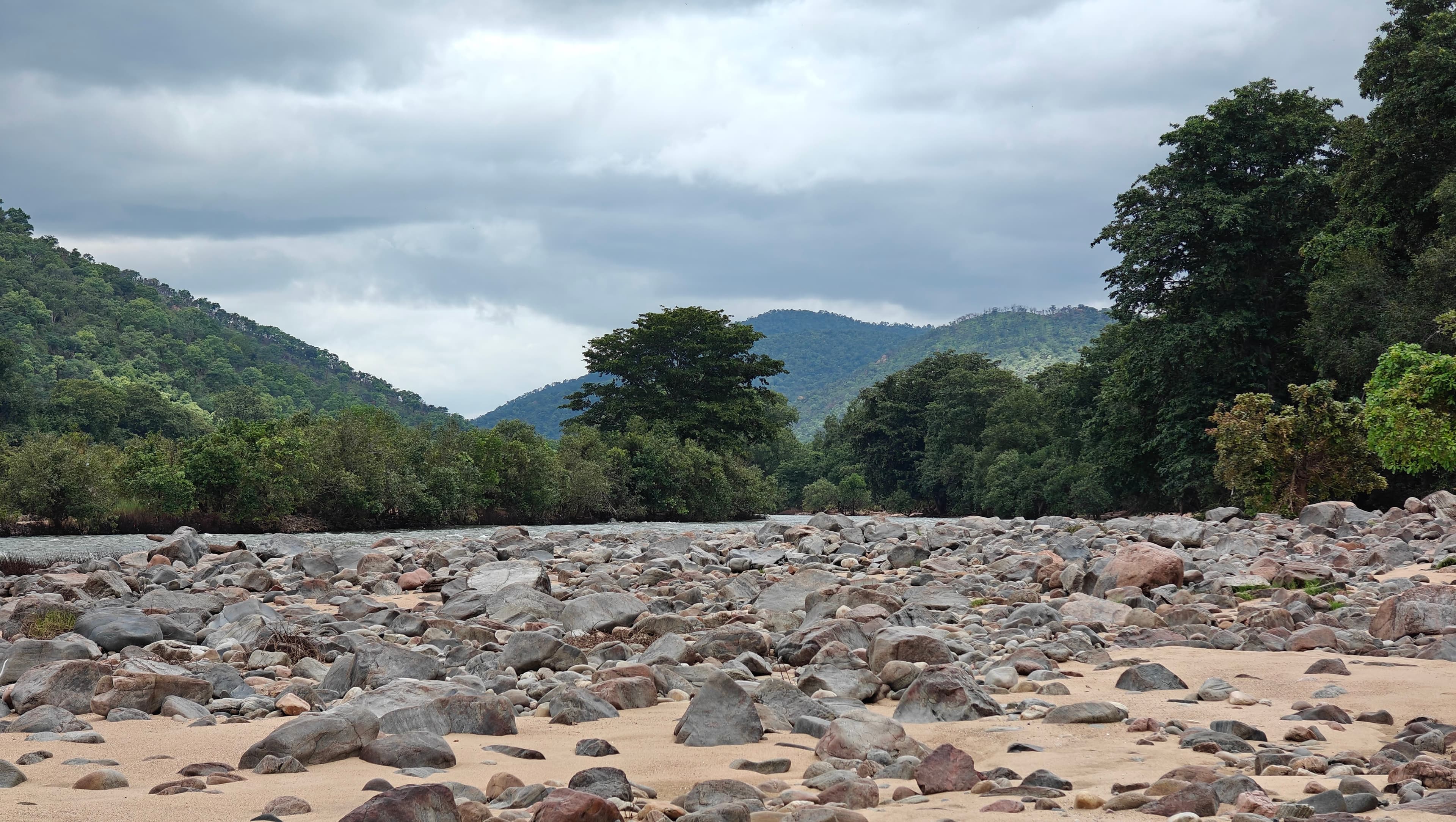
The Biligundulu–Rasimanal trail follows the banks of the Cauvery River from the village of Biligundulu to the Rasimanal Forest Camp. Operated by the Tamil Nadu Forest Department through the Trek Tamil Nadu initiative, the route follows the path used by forest guards for regular patrols. Much of the trail remains close to the river and crosses several seasonal streams before reaching the forest camp. During periods of high water in the Cauvery, these stream crossings may become impassable, making it impossible to complete the trek. Plan your visit during a season with lower water levels. Mobile reception is generally unavailable near the trailhead, so contact the Trek Tamil Nadu representative before crossing the Poomarathukuzhi Forest Checkpost, which is typically the last location with mobile coverage. Since the trail stays close to the river, many hikers choose to take a dip in the Cauvery and may wish to carry a change of clothes.
Getting there#
Trail route
Route flyby#
Preview the terrain before you go — a 3D fly-through of the full route.
Trail reports#
Trail conditions and experiences shared by hikers who've done this route

We visited the trail when flooding in the Cauvery River had led to its temporary closure, allowing us to complete only the initial section. The route normally involves crossing multiple shallow riverlets before reaching the destination. During our visit, these crossings carried significantly more water due to the flood, making it impossible to proceed safely beyond the accessible section. The final stretch could not be completed because the swollen riverlets blocked further progress.
On Instagram#
Posts from hikers who've done this trail
Hiked this trail? Tag your post #bt_biligundulu on Instagram and it'll show up here.
GPX file#
Download the GPX route to use with your GPS device or hiking app. Learn how to use GPX files. To protect our trail data from bulk harvesting, downloads are limited to one per account per week.
🗺️
Sign in to download
Create a free account to download the GPX file and use it with your GPS device or hiking app.
Wildlife & Nature#
Wildlife activity is evident along this trail. The forest guide carries fireworks as a precaution against elephants, reflecting their presence in the area. Elephant dung has been observed along the route, while crocodile footprints have been seen on the riverbanks. We also spotted an otter in the Cauvery during the trek.