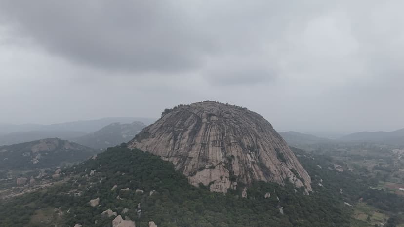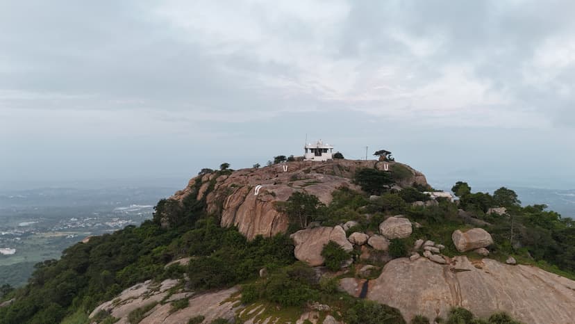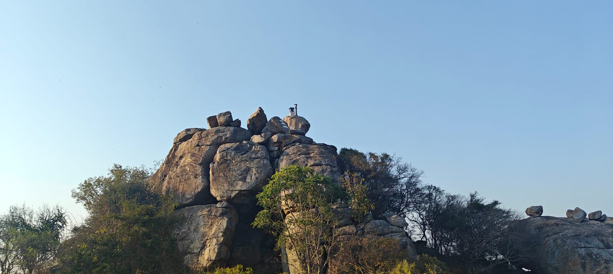

I hiked Puliyarasi Hill solo and did not encounter anyone else on the trail throughout the visit. I followed the route to the Shiva temple beneath the overhanging rock and continued through the narrow passage beneath the rock to the other side. From there, I had a clear view of the summit, but I was unable to identify a safe route to reach it. After spending some time exploring the area, I decided to turn back and descend via the motorable track, completing the loop back to the parking area. I plan to return another day to complete the final climb to the summit.
Distance
2.79 km
Elevation gain
117 m
Route type
loop
About this trail#
Puliyarasi Hill, also known as Chakkarlu Hills, is a granite hill near Shoolagiri that can be reached by a short climb from the base. The trail ascends over exposed rock to the summit, with only a brief stretch of hiking before reaching the top. From the summit, the hill provides unobstructed 360-degree views of the surrounding landscape. A Shiva temple built beneath a large overhanging boulder, giving it the appearance of a cave, is an important landmark along the route. Its proximity to Bengaluru and the short ascent make it a relatively less-visited hill compared to other hikes in the region.
Trail Information#
Parking to Trailhead
From the parking area near the Sri Maligeswara Swamy Temple, the route follows a broad, unpaved motorable track. This off-road section is easy to walk and gradually approaches the base of the rocky hill, where the hiking trail begins.
Trailhead to Temple
The trail starts with a flight of stone steps leading to the Shiva Temple. The temple is built beneath a large overhanging boulder, giving it the appearance of a cave. The area around the temple is relatively flat and open, with expansive views of the surrounding forests, making it a good spot to watch the sunrise.
Temple to Summit and Back
Beyond the temple, the trail climbs over exposed granite towards the summit. The ascent is short but involves scrambling, including one section where you need to get on all fours and squeeze beneath a rock to reach the other side. Hikers who are not comfortable with scrambling can turn back at the temple, as this is the most technical part of the route. Return to the temple along the same path after visiting the summit.
Temple to Parking (Motorable Road)
Instead of descending the stone steps, continue along the motorable track that leaves from the temple area. This broader dirt road gradually descends to the parking area, creating a loop. Although this return route is longer than the ascent via the stone steps, it provides a different perspective of the hill and avoids retracing the same path.
Getting there#
Trail route
Route flyby#
Preview the terrain before you go — a 3D fly-through of the full route.
Trail reports#
Trail conditions and experiences shared by hikers who've done this route
GPX file#
Download the GPX route to use with your GPS device or hiking app. Learn how to use GPX files. To protect our trail data from bulk harvesting, downloads are limited to one per account per week.
🗺️
Sign in to download
Create a free account to download the GPX file and use it with your GPS device or hiking app.