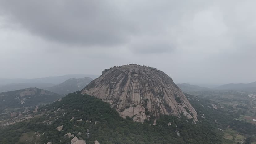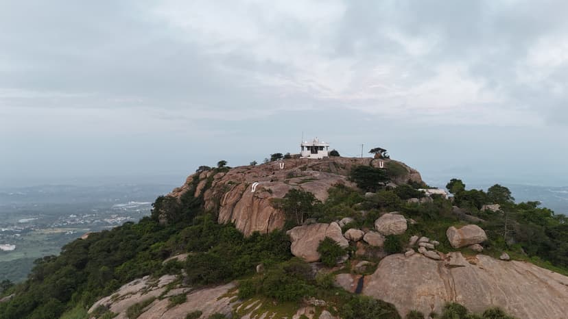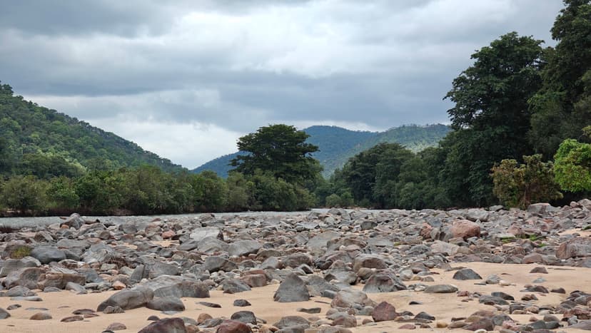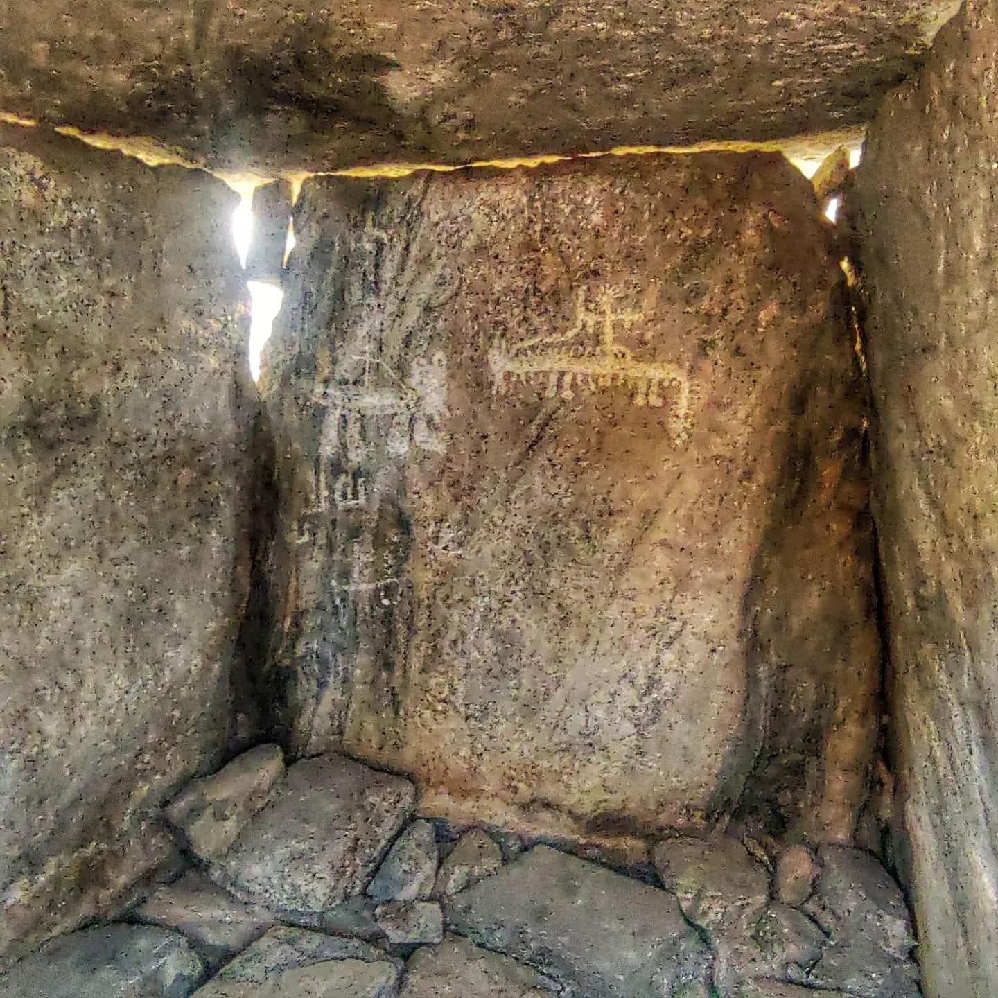

We visited Mallachandram on our way back from Krishnagiri Mountain, expecting it to be a short detour. It turned out to be a nice find. We explored the dolmens first and later watched the sunset from the small hill. The trail leading to the dolmens was completely overgrown even in March. Thorny vegetation made the approach difficult and caused several scratches during our visit. Finding the dolmen containing the rock painting also turned into a treasure hunt, but we eventually located it. This visit also led to another trail discovery. From the hill, I noticed a white temple on top of a distant hill and asked the locals about it. They identified it as Balakondarayana, which I later explored and which eventually became one of my favourite trails.
About this trail#
Mallachandram is an easy trail centred on a large collection of megalithic burial structures distributed across two rocky hills in three clusters. The trail begins through a shaded forest before climbing onto the rocky slopes, where the dolmens become the main feature of the landscape. Several structures contain remnants of ancient rock paintings or engravings, although some have been vandalised. The best-preserved paintings are found inside a dolmen on the eastern hill. The site contains a large number of dolmens, with some estimates suggesting several hundred structures across the two hills.
Trail Information#
The trail currently begins from an open patch of land rather than through the nearby village houses. The initial section passes through forest and remains mostly shaded. As the trail climbs onto the rocky mound, the vegetation becomes more open and the route follows the exposed rocky terrain.
The megalithic burial structures are distributed across two hills in three main clusters. There are numerous dolmens and other burial structures across the hills, with the exact number yet to be established. Some dolmens contain remnants of ancient rock paintings or markings. The best-preserved paintings are inside a dolmen at 12.63630, 78.09867. Other structures show signs of vandalism, including damaged or altered paintings and engravings.
The trail continues across the rocky hills, passing through the different clusters of burial structures before reaching the upper sections of the two hillocks. During the monsoon, the surrounding landscape becomes green and the hills can be covered by cloud.
Getting there#
Trail route
Route flyby#
Preview the terrain before you go — a 3D fly-through of the full route.
Trail reports#
Trail conditions and experiences shared by hikers who've done this route
GPX file#
Download the GPX route to use with your GPS device or hiking app. Learn how to use GPX files. To protect our trail data from bulk harvesting, downloads are limited to one per account per week.
Sign in to download
Create a free account to download the GPX file and use it with your GPS device or hiking app.