Distance
7.37 km
Elevation gain
483 m
Route type
out-and-back
Peaks on this trail
About this trail#
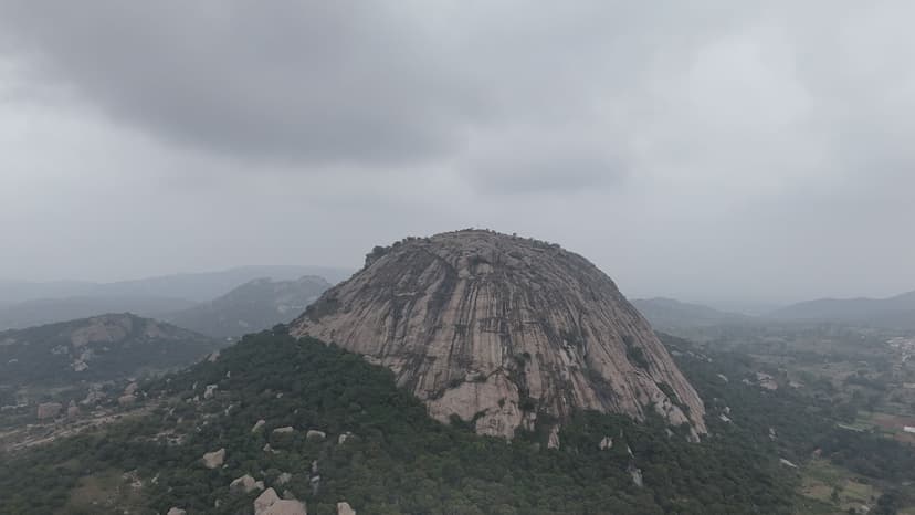
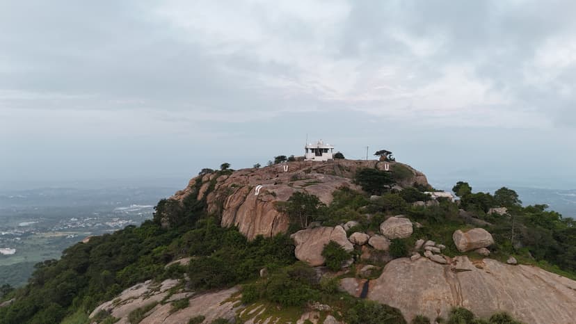
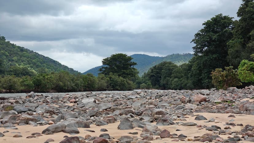
The trek to Guthirayan Peak in Krishnagiri is a thrilling and adrenaline-fueled challenge. The trail offers a journey through diverse ecosystems with stunning panoramic views. Guthirayan Peak, the highest point in the Melagiri Hills of Krishnagiri district, is a rewarding wilderness trek that combines dense forests, bamboo groves, rocky climbs, and breathtaking summit views. Covering an 7.2 km round trip over approximately six hours, the trail passes through one of Tamil Nadu’s richest wildlife corridors, home to Indian gaur, elephants, deer, and countless bird and butterfly species. The moderate climate beneath the forest canopy makes the challenging ascent enjoyable, and the panoramic views from the 1,400 m summit make every step worthwhile. It’s a perfect trek for nature lovers seeking an offbeat adventure away from crowded hill stations.
Getting there#
Trail route
Route flyby#
Preview the terrain before you go — a 3D fly-through of the full route.
Trail reports#
Trail conditions and experiences shared by hikers who've done this route


GPX file#
Download the GPX route to use with your GPS device or hiking app. Learn how to use GPX files. To protect our trail data from bulk harvesting, downloads are limited to one per account per week.
🗺️
Sign in to download
Create a free account to download the GPX file and use it with your GPS device or hiking app.