
Katnampatti malai is a small hill near Krishnagiri town, reached by stone steps that begin at a Murugan temple trailhead tucked behind a compound wall. The climb runs up the eastern face, which faces the morning sun and heats quickly. Partway up, the trail turns west: the traffic noise from the Chennai-Krishnagiri highway, audible and persistent on the eastern side, drops away entirely. The western slope opens onto farmlands, village ponds, and low hills. The summit is a flat plateau with boulders that work as natural viewpoints. An Anjaneyar temple sits near the plateau entrance; a Murugan shrine stands further in, a recent addition not visible in older satellite imagery of the hill. From the plateau's western end, Krishnagiri hill and Kusumalai hills are clearly visible. Periyamalai and Bolumalai appear from the eastern approach. The hill suits a late-afternoon or sunset outing rather than a midday climb.

Swamimalai is a forested hill in the Yelagiri range where the trail ends at a small cave temple rather than an open summit. The trail runs through Mangalam Reserve Forest and begins at the village of the same name on the Yelagiri plateau. The approach from the parking area crosses the village and cultivated farmland before reaching the forest department ticket counter at the official trailhead. From the ticket counter, a mix of rock steps and footpath climbs through tropical dry deciduous forest for the entire ascent. The canopy is dense and old-growth in scale, with large trees throughout. Most of the ascent offers no open sightlines; the forest defines the trail's character more than any view. Near the cave temple at the top, a large boulder rises above the canopy. A fixed iron ladder leads up the rock face; the ladder has deteriorated significantly and each rung should be tested before use. The boulder provides the only clear sightline on the route, a view over the surrounding forested hills. Birdlife is active throughout the forested sections.

Bolumalai Fort rises to 1,035 metres on a granite ridge in the Eastern Ghats, roughly 88 kilometres south-east of Bengaluru in Krishnagiri district. A Perumal temple and the ruins of the old fort stand at the summit, with Krishnagiri dam visible in the valley below alongside the surrounding plateau. The approach road from the base village passes through mango orchards and paddy fields before reaching the marked trailhead, where trekkers park and continue on foot. The offroad track now draws a large weekend crowd of adventure motorcycles from across the region; two-wheelers can ride all the way to the top, while four-wheelers use a dedicated parking area below the summit. Local villagers manage an informal toll at the crossing point, collecting a small fee per vehicle. The trekking route follows a distinct trail from the marked trailhead to the summit through dry deciduous scrub. Weekends bring significant crowds, particularly among the biking community; weekday mornings are considerably quieter and allow a more contemplative visit to the fort ruins and temple. The combination of a proper trekking trail and a driveable summit route makes Bolumalai one of the more accessible hill forts in the Krishnagiri hills.
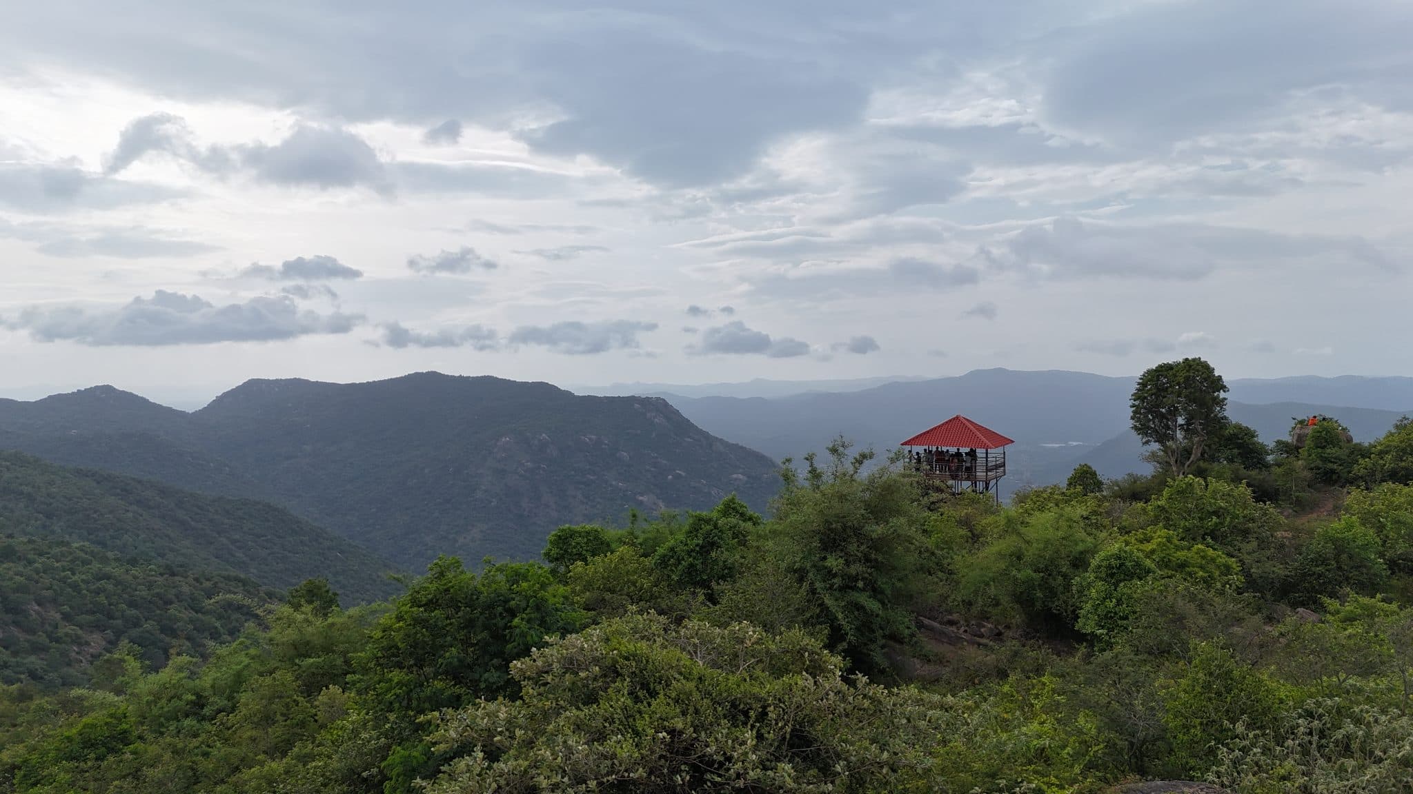
Nilavoor cliff viewpoint is a short, signposted trail built and maintained by the Tamil Nadu Forest Department, ending at two watchtowers on the cliff edge overlooking the adjacent plains.
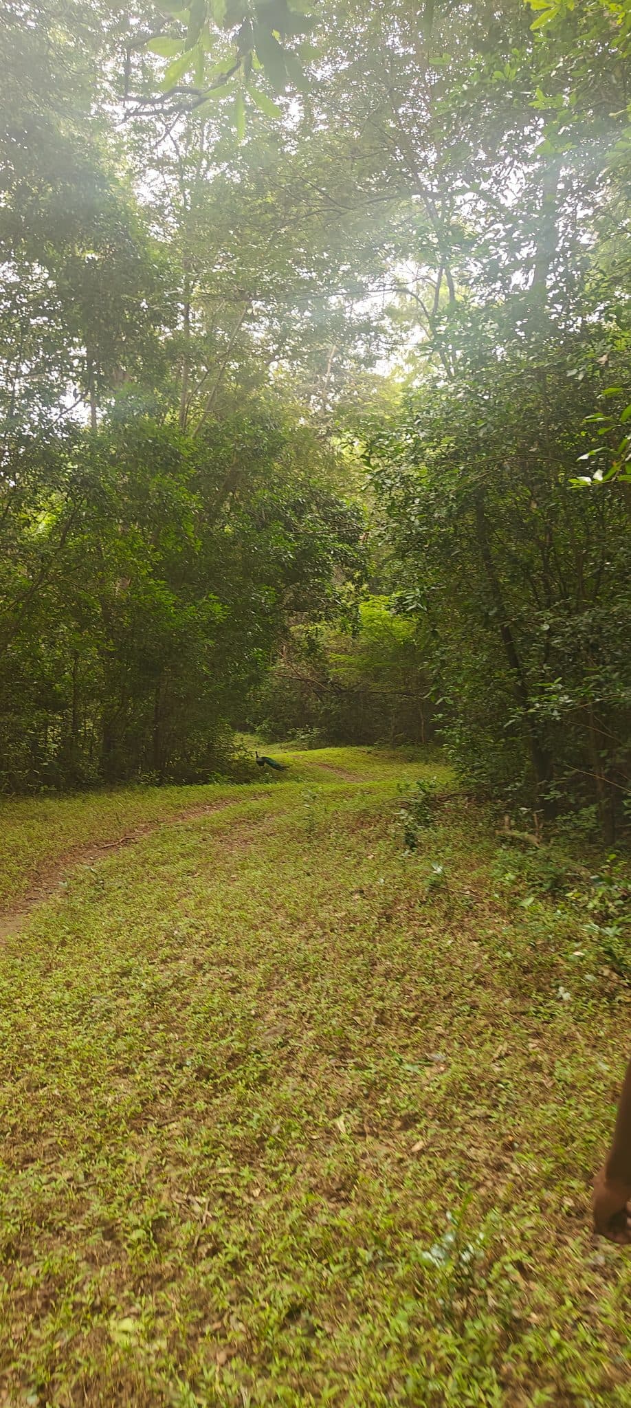
The Karaiyar-Moolakasam trail runs 4 km along an old jeep track from the Karaiyar reservoir to Moolakasam inside the core zone of Kalakad Mundanthurai Tiger Reserve (KMTR), below Agasthya Peak (1,868 m). The route was cleared as a patrol road to allow forest officers to police the reserve; it is maintained once a year, which keeps the path broad and well-defined through an otherwise dense tropical wet evergreen forest. The canopy is closed throughout, with intermittent clearings where sambar, spotted deer, and Indian gaur have been observed. Nilgiri langur are heard frequently from the upper canopy. The forest forms part of the Thamirabarani river headwaters, and seasonal streams cross the track during and after the southwest monsoon. The walk is flat to gently undulating and accessible to most fitness levels. All logistics are handled by the forest department: trekkers report to the Mundanthurai Forest Range Office for permits and formalities, are driven to Karaiyar, walk to Moolakasam, and are collected there for the return.
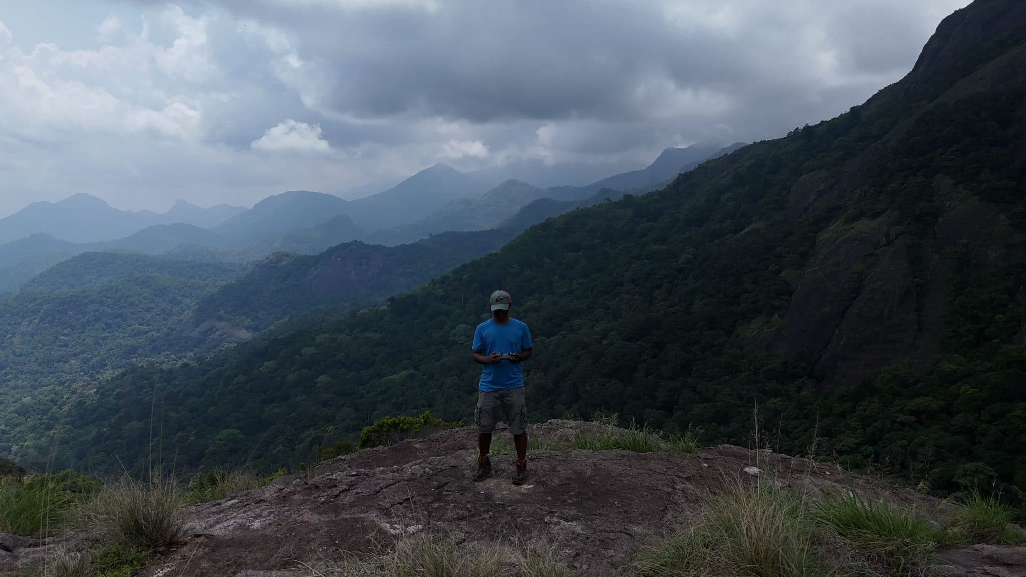
Injikadavu is a forest trail in the Kanyakumari Wildlife Sanctuary, climbing from the Tamil Nadu Forest Department's Kalikesam Eco Camp through dry deciduous and moist evergreen forest to a grassland plateau at 920 metres on the Western Ghats escarpment.
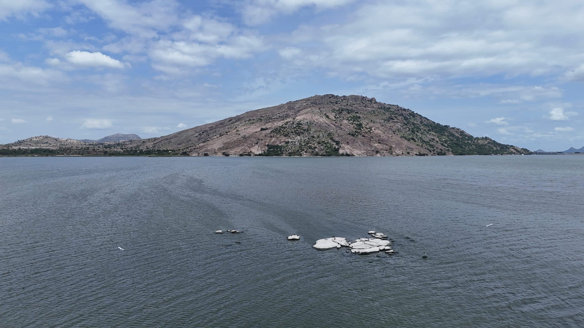
Narasimha Malai is a hill in Krishnagiri district that takes its name from the Narasimha Swamy Perumal temple on its slopes. The trail begins at a small roadside shrine, follows a concrete road, then climbs stone-cut steps to the temple. A small water body and a cave-like rock hollow sit just beyond the temple to the right. The hill carries no large canopy trees and no fixed trail to the summit; the open terrain allows a direct line to the top. The base is monolithic granite that breaks into uneven, climbable sections on the ascent. A band of noticeably greener vegetation partway up marks a water source in the hill. The summit is a broad, open plateau. A Pillayar shrine occupies the top of the highest rock but is reachable only by a technical climb. The KRS reservoir backwaters are visible from the trailhead; the full dam face opens from the summit, and this hill is one of the landmarks identifiable from the dam itself. Bolumalai, Machakal, Krishnagiri fort, Thalapalli, Periyamalai, and Rayakottai are all visible on a clear day. Rock paintings are marked on Google Maps in the area. A saddle beyond the main summit leads to a secondary peak.
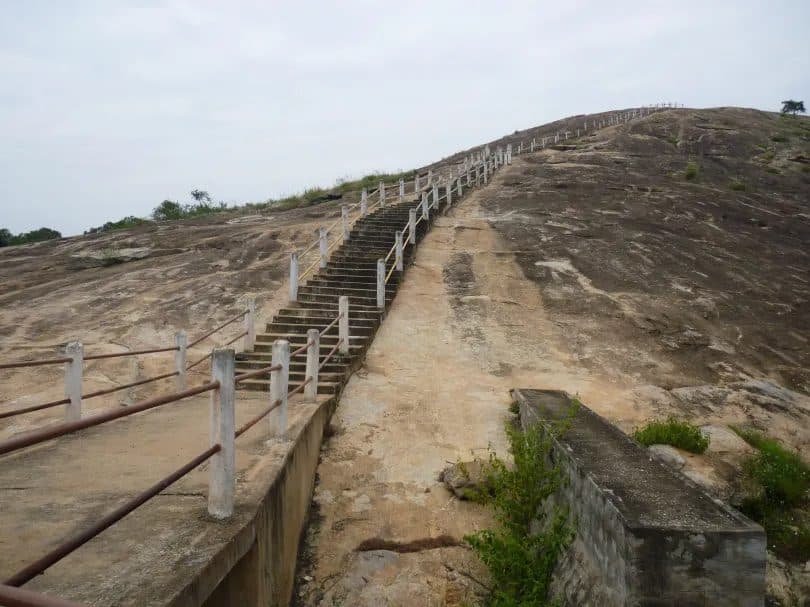
Devarabetta is a granite monolith on the Karnataka-Tamil Nadu border, its base enclosed by the Shri Rudra Muneshwara Swamy Temple and its summit reached by a stairway. The hill's name translates to "God's Hill" in Kannada. The monolith is one of several isolated granite outcrops in this part of the Deccan, rising abruptly from the surrounding plateau. The stairway ascends the rock face from the base of the rock, gaining 65 metres to the Sri Malleswara Swami Gudi shrine at the highest point. The hill sits at the forest edge: the canopy extends beyond the summit, and the small access village is visible in the foreground from the top. The approach road through the village carries no signboards: the temple compound at the base of the rock is the only landmark to navigate by. The area lies within the wildlife corridor linking Bannerghatta to the Cauvery basin; elephant movement through the surrounding forest is periodically reported.
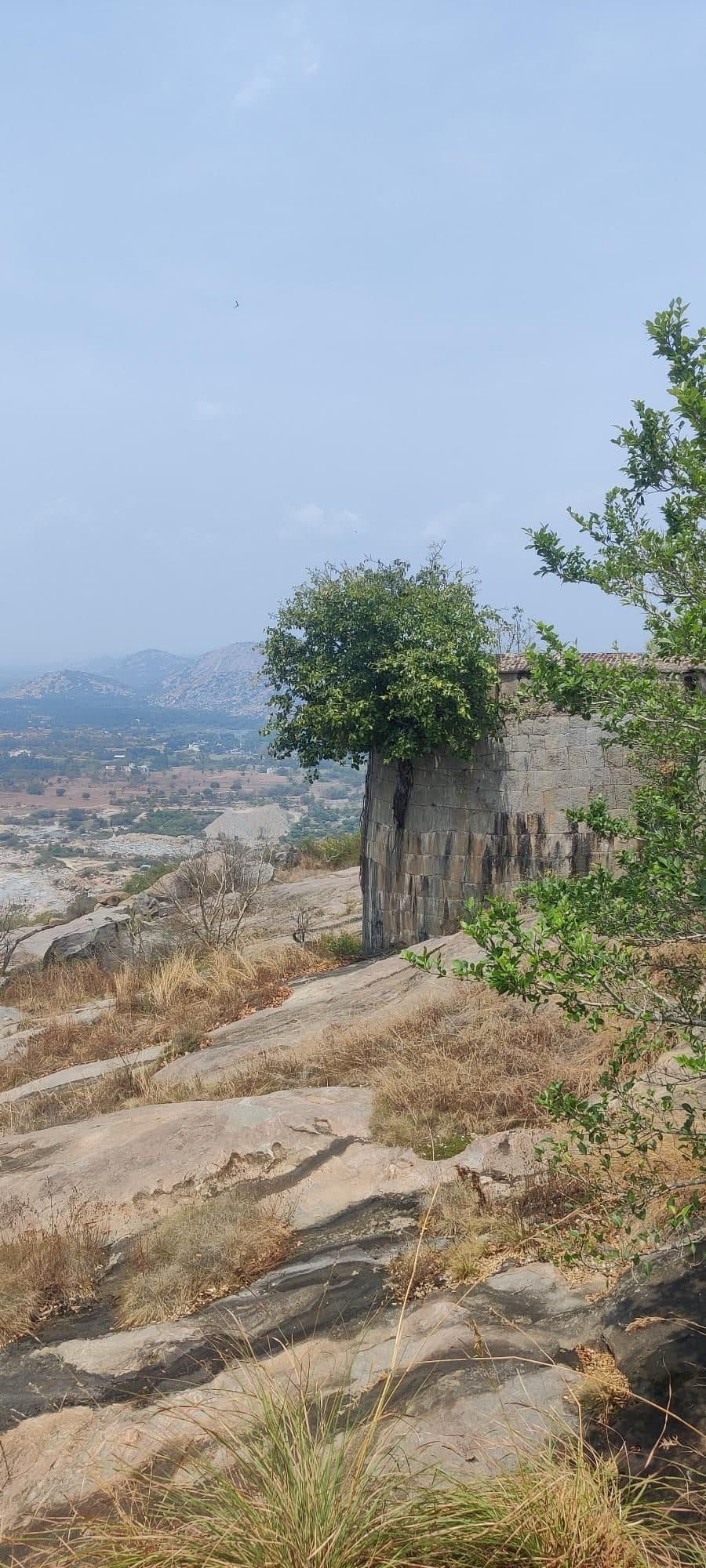
Krishnagiri Fort is a short hill trek that combines a steady climb with the remains of a historic hill fort. The fort is prominently visible from the Krishnagiri tollgate, rising above the surrounding landscape and offering a glimpse of the climb ahead.