Distance
4.13 km
Elevation gain
125 m
Route type
point-to-point
Difficulty
Moderate
About this trail#
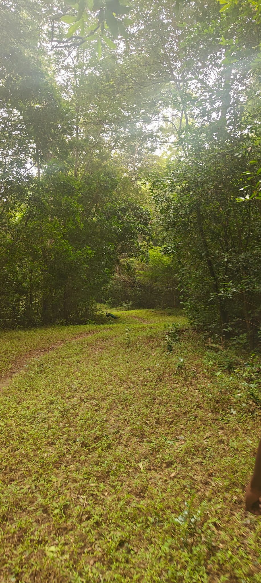
The Karaiyar-Moolakasam trail runs 4 km along an old jeep track from the Karaiyar reservoir to Moolakasam inside the core zone of Kalakad Mundanthurai Tiger Reserve (KMTR), below Agasthya Peak (1,868 m). The route was cleared as a patrol road to allow forest officers to police the reserve; it is maintained once a year, which keeps the path broad and well-defined through an otherwise dense tropical wet evergreen forest. The canopy is closed throughout, with intermittent clearings where sambar, spotted deer, and Indian gaur have been observed. Nilgiri langur are heard frequently from the upper canopy. The forest forms part of the Thamirabarani river headwaters, and seasonal streams cross the track during and after the southwest monsoon. The walk is flat to gently undulating and accessible to most fitness levels. All logistics are handled by the forest department: trekkers report to the Mundanthurai Forest Range Office for permits and formalities, are driven to Karaiyar, walk to Moolakasam, and are collected there for the return.
Getting there#
Trail route
Route flyby#
Preview the terrain before you go — a 3D fly-through of the full route.
GPX file#
Download the GPX route to use with your GPS device or hiking app. Learn how to use GPX files. To protect our trail data from bulk harvesting, downloads are limited to one per account per week.
🗺️
Sign in to download
Create a free account to download the GPX file and use it with your GPS device or hiking app.
Trail reports#
Trail conditions and experiences shared by hikers who've done this route

Wildlife & Nature#
Sambar, spotted deer, and Indian gaur have been sighted along the route, particularly near clearings and water-spread areas. Nilgiri langur are frequently heard moving through the upper canopy. The reserve holds tigers and leopards; sightings from this trail are uncommon, but animal signs are routinely noted by guides. The lower-altitude closed-canopy forest is a productive site for southern endemic birds; butterflies are abundant near the clearings.
Camping#
Camping is not permitted inside Kalakad Mundanthurai Tiger Reserve.