Distance
1.82 km
Elevation gain
181 m
Route type
out-and-back
About this trail#
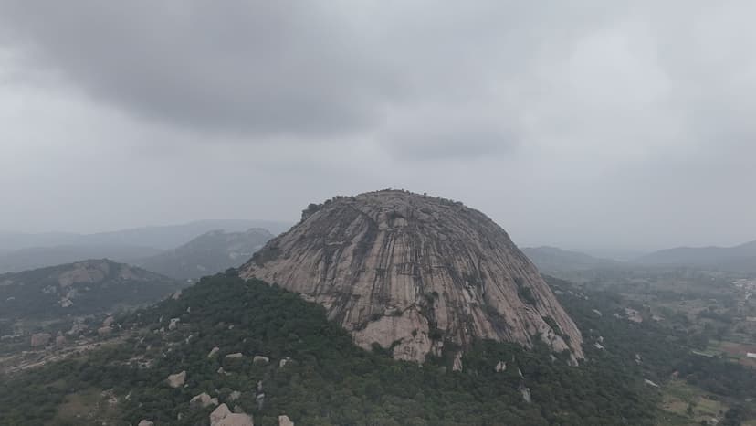
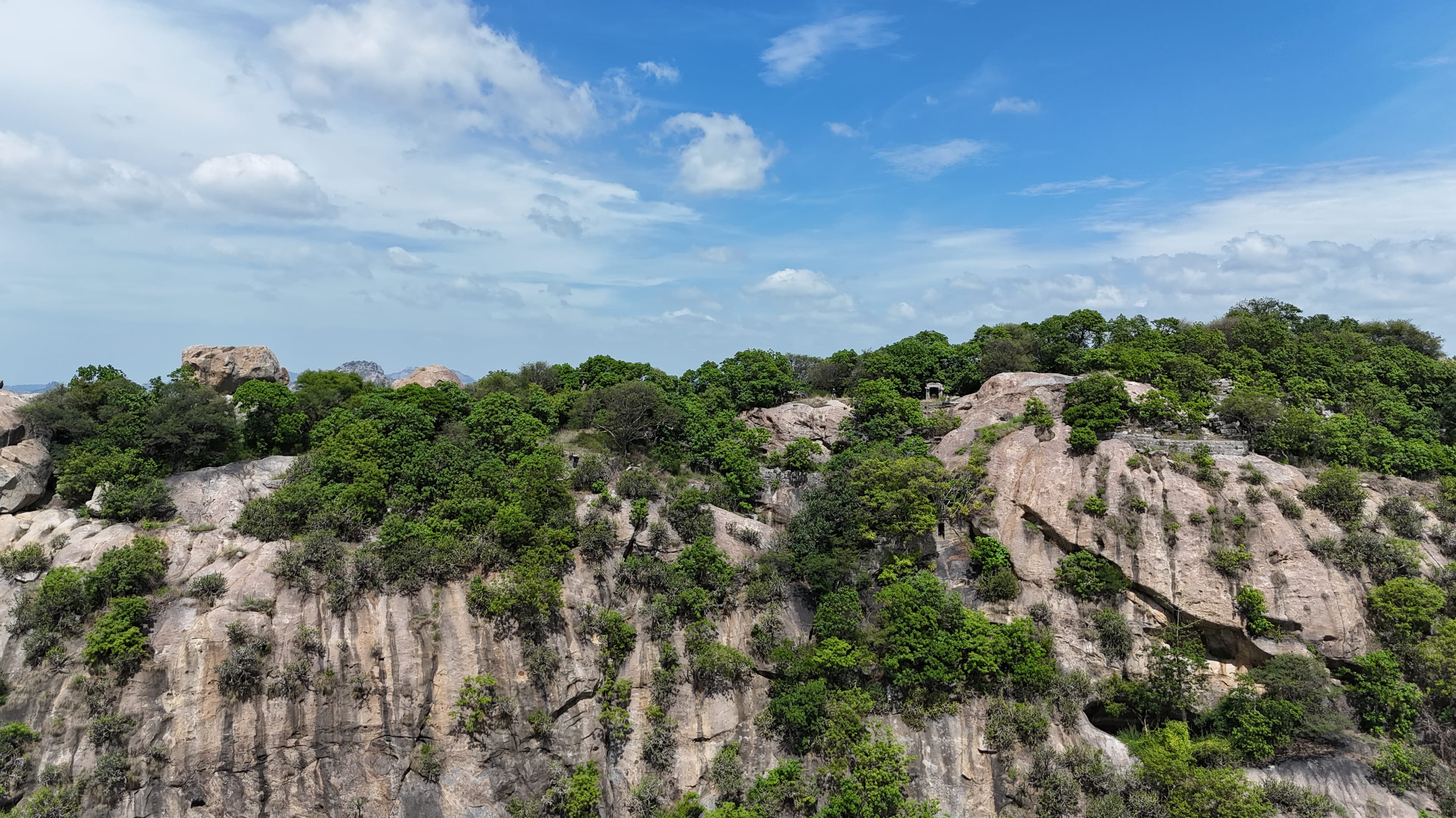
The trail leads to the remains of a hill fort that formed part of the Baramahal fortification system. The climb begins with rock-cut steps before continuing on a marked trail to the Anjaneya Temple. Beyond the temple, the route becomes unmarked, requiring a short cross-country traverse through bushes to reach the summit. The final ascent leads to the fort ruins, where gateways, sections of fortification walls, and rock-cut water storage tanks are still visible. Although the hike is relatively short, it combines historical remains with open views across the surrounding plains, including the Chennai–Bengaluru Highway winding through coconut groves below.
Trail Information#
The trail can be divided into three distinct sections.
Trailhead to the Steps
The hike begins on a well-defined path that quickly reaches a series of rock-cut steps. This short approach leads directly to the main ascent.
Steps to Anjaneya Temple
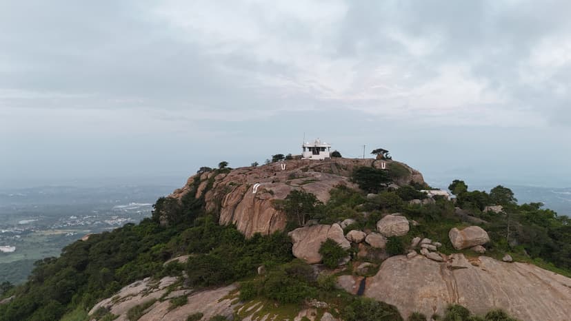
The initial climb follows rock-cut steps, many of which resemble a constructed staircase. One section has been shaped into a smooth rock chute resembling a slide. After the steps end, the trail continues as a clear footpath with painted trail markers and metal railings at a few exposed sections. Navigation remains straightforward as the trail climbs steadily to the Anjaneya Temple.
Anjaneya Temple to the Peak
Beyond the temple, the route becomes considerably less defined. Although the summit is clearly visible, there is no marked trail leading to it. The ascent requires navigating through patches of bushes while gradually traversing from the western side of the hill to its eastern slopes. This stretch offers clear views of the Chennai–Bengaluru Highway winding through the surrounding coconut groves. The final climb to the summit is steep and requires careful footing over exposed rock. At the top are the remains of the hill fort, including sections of fortification walls, gateways, and rock-cut water storage tanks, which can be explored before returning by the same route.
Getting there#
Trail route
Route flyby#
Preview the terrain before you go — a 3D fly-through of the full route.
Trail reports#
Trail conditions and experiences shared by hikers who've done this route

GPX file#
Download the GPX route to use with your GPS device or hiking app. Learn how to use GPX files. To protect our trail data from bulk harvesting, downloads are limited to one per account per week.
🗺️
Sign in to download
Create a free account to download the GPX file and use it with your GPS device or hiking app.
Wildlife & Nature#
We did not observe any signs of large wildlife during our visit. However, insect activity was abundant, with numerous red cotton bugs, including many mating pairs, seen along the trail. We also encountered several brightly coloured centipedes moving across the rocks and vegetation.