Distance
3.27 km
Elevation gain
332 m
Route type
out-and-back
About this trail#
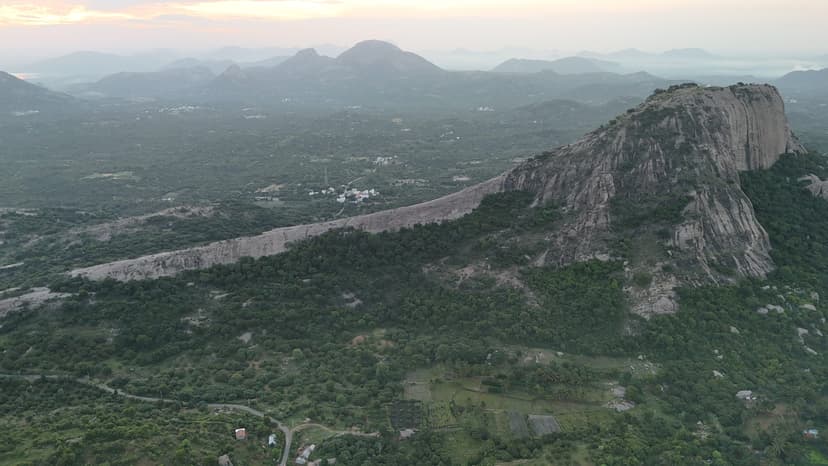
The trail climbs a prominent hill visible from the Bengaluru–Dharmapuri highway and leads to a cave temple near the summit. Although the temple is the hill's main landmark, it is visited primarily during an annual festival and remains quiet for most of the year. The route follows a direct ascent with few navigation challenges before reaching the cave. A viewpoint beside the temple overlooks the surrounding plains, making it the principal viewpoint on the hill. The combination of a cave shrine and its limited annual pilgrimage distinguishes this trail from many of the more frequently visited temple hills in the region.
Trail Information#
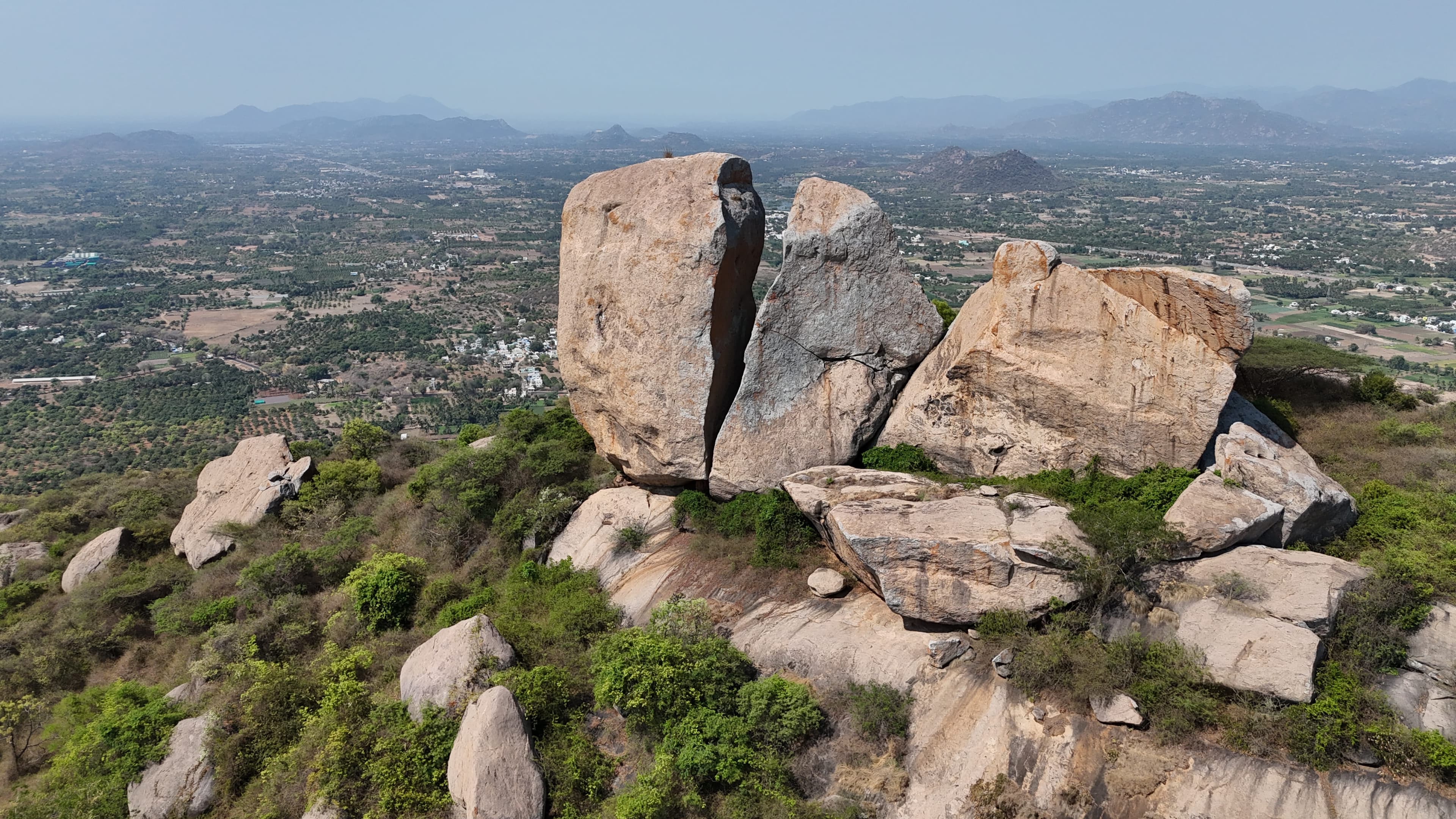
The trail follows a straightforward route from the trailhead to the summit with no significant junctions or navigation challenges. The path climbs directly to the top, where a cave temple marks the destination. A viewpoint beside the temple overlooks the surrounding plains, providing an unobstructed view of the landscape below.
Getting there#
Trail route
Route flyby#
Preview the terrain before you go — a 3D fly-through of the full route.
Trail reports#
Trail conditions and experiences shared by hikers who've done this route

GPX file#
Download the GPX route to use with your GPS device or hiking app. Learn how to use GPX files. To protect our trail data from bulk harvesting, downloads are limited to one per account per week.
🗺️
Sign in to download
Create a free account to download the GPX file and use it with your GPS device or hiking app.
Wildlife & Nature#
During our visit, we observed numerous remains of dead thousand-legged leeches scattered along the trail. No other signs of wildlife activity were noticed. A large honeybee colony was present within the rock formations near the summit.