Distance
4.63 km
Elevation gain
411 m
Route type
out-and-back
Peaks on this trail
About this trail#
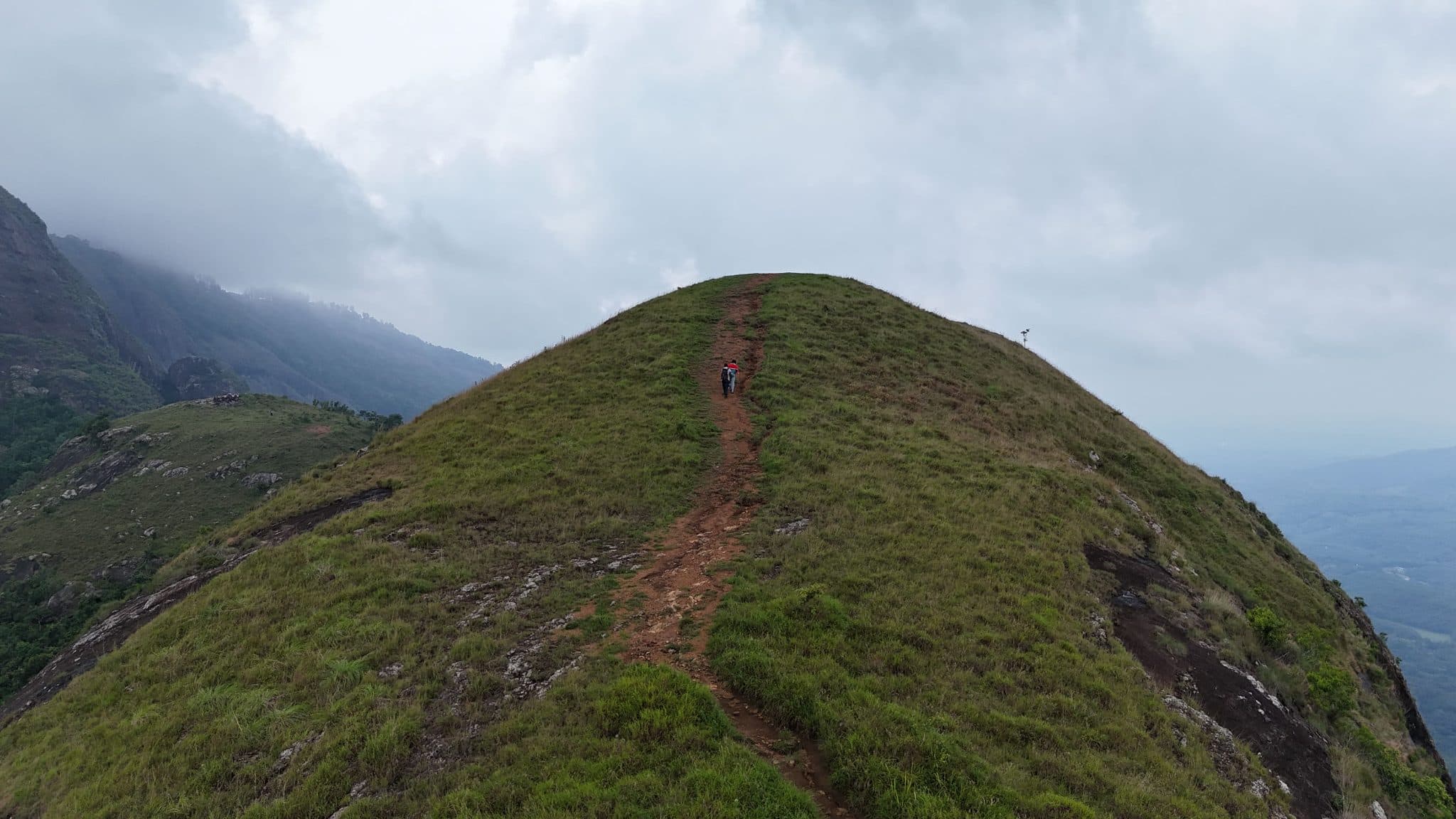
The trail begins through dense evergreen forest before emerging onto the open grass-covered summit of Koonichi Mala. The contrast between the shaded forest and the exposed grassy ridge is one of the defining features of this hike. Koonichi Mala consists of two summits—Upper Koonichi and Lower Koonichi—connected by a narrow ridge, allowing hikers to traverse between both peaks. From the summit, there are clear views of Kurusumala and Kondaketti Mala, with the surrounding Western Ghats forming the backdrop. The combination of forest approach, grassy ridgeline, and twin summits makes this trail distinct from many of the other hills in the Amboori region.
Trail Information#
The trail begins at the arch marking the Mount Carmel Eco Pilgrim Tourism Centre and follows a broad jeep track that provides access to nearby farmlands. A small stream runs alongside the trail on the right for much of this initial section, and the route passes through an area with numerous jackfruit trees.
After the jeep track, the trail narrows into a footpath and climbs gradually through the forest. A short ascent leads out of the tree cover onto the open grassland of Lower Koonichi, the first of the hill's two summits. From here, a narrow ridge connects Lower Koonichi to Upper Koonichi, providing a straightforward walk between the two peaks. The upper summit offers views of Chittar Dam, Kurusumala, and Kondaketti Mala, with the surrounding Western Ghats visible beyond.
Getting there#
Trail route
Route flyby#
Preview the terrain before you go — a 3D fly-through of the full route.
Trail reports#
Trail conditions and experiences shared by hikers who've done this route

GPX file#
Download the GPX route to use with your GPS device or hiking app. Learn how to use GPX files. To protect our trail data from bulk harvesting, downloads are limited to one per account per week.
🗺️
Sign in to download
Create a free account to download the GPX file and use it with your GPS device or hiking app.
