Distance
3.65 km
Elevation gain
369 m
Route type
out-and-back
Peaks on this trail
About this trail#
Kondaketti Mala sits on the Kerala-Tamil Nadu border: the trek begins in Kerala and the summit lies in Tamil Nadu, locally known as "Mini Ponmudi" for the mist that layers across its cluster of peaks through midday. The route climbs through terraced farmland on stone retaining walls, past a sheer rock face where the correct branch goes right, then up loose rocky slopes with poor grip on the steeper pitches, before a steep final push to an open grassland summit. The highest point is a boulder at the far end of the plateau. From it, Agasthyamala rises to the north, with Koonichimala on one flank and Villooni Mala on the other; behind Villooni, Kurusumala and Kaalimala are visible, with the Chittar reservoir at a slight angle beyond Kaalimala.
Trail Information#
Getting There
The trek starts from a concrete road. A panchayat representative at the parking area collects the parking fee and can give basic route information before you head up.
Farm Section
The concrete road gives way to terraced farmland. The farms are cut into the slope with stone retaining walls built to prevent soil erosion and create level ground; the route climbs these walls in sequence. The path is informal and unmarked. Where the route is unclear, discarded packaging from previous trekkers is often the most reliable indicator of where the trail continues.
The Wall
The farm section ends at a large rock face that looks like a solid wall. The trail forks here: take the right branch. The left branch is incorrect. A direct ascent of the face is possible but exposed and risky; the right branch bypasses it.
Mid-Section
Above the wall, the trail climbs gradually on small loose rock. Several sections are slippery: the surface is made up of small rock fragments that give poor grip, particularly on the steeper pitches. The route approaches the peak from the side rather than directly.
Final Climb
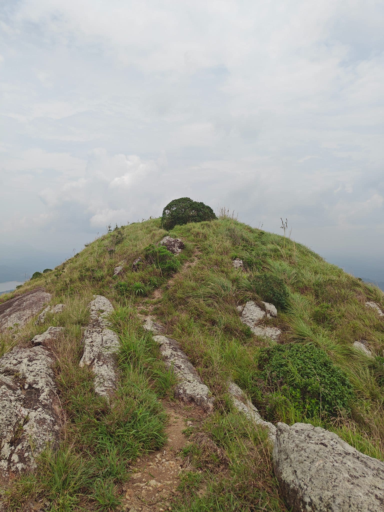
The final ascent is steep with limited footing. Villooni Mala is visible on one side and grassland opens across the upper slope as the summit comes into view.
Summit
The summit is open grassland. Walk to the far end of the plateau to reach the highest point, a boulder. Agasthyamala rises to the north; Koonichimala stands on one side of it and Villooni Mala on the other, with Kurusumala visible behind Villooni. The Chittar reservoir and Kaalimala lie in the middle distance below.
Getting there#
Trail route
Route flyby#
Preview the terrain before you go — a 3D fly-through of the full route.
Trail reports#
Trail conditions and experiences shared by hikers who've done this route

GPX file#
Download the GPX route to use with your GPS device or hiking app. Learn how to use GPX files. To protect our trail data from bulk harvesting, downloads are limited to one per account per week.
🗺️
Sign in to download
Create a free account to download the GPX file and use it with your GPS device or hiking app.
Wildlife & Nature#
Scratch or claw marks were observed on trees on the upper sections of the trail, suggesting the presence of wild animals, though the species is unconfirmed.
