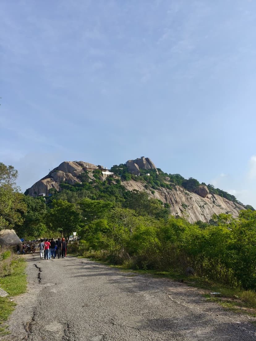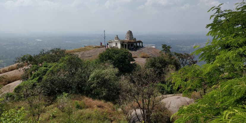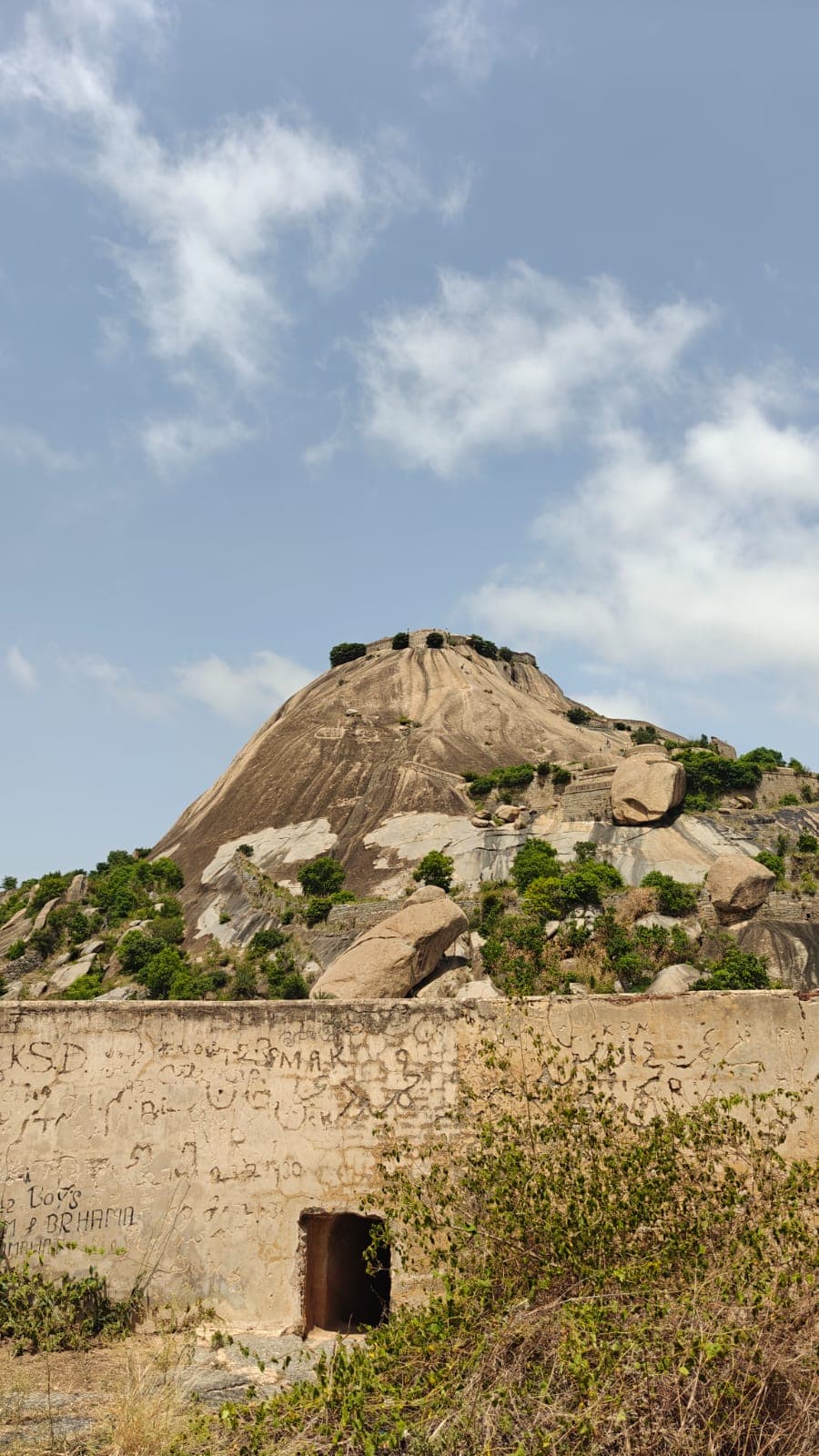

The climb to the top of the hill is challenging and has steps carved in the hill. About a 1000m of elevation and total around 4.5kms back and forth. The views are amazing as you climb the top and is best suited for an early morning hike. Washroom and drinking water is available below. The entry fee was 50 rupees.
Distance
5.2 km
Elevation gain
529 m
Route type
out-and-back
Peaks on this trail
About this trail#
The Madhugiri Fort trail climbs one of Asia's largest monolithic rock formations, following the remains of a historic hill fort. The route passes through a series of fortified gateways, defensive walls, and rock-cut steps before reaching steep sections across exposed granite slabs that define the character of the climb. These exposed traverses make the ascent physically and mentally demanding despite the relatively short route. The summit preserves sections of the fort walls and other remnants of the former stronghold, reflecting Madhugiri's military significance. From the top, the fort overlooks the surrounding plains and scattered hills.
ContributorsPPraveen Chandrasekaran
Trail Information#
The trail begins with a broad flight of stone steps leading up the lower slopes of the fort. Railings are installed along several sections, and the climb passes through multiple layers of historic fort walls, with level areas where hikers can pause before continuing. The path is straightforward through this initial section.
Beyond the lower fortifications, the trail becomes considerably steeper, although railings are available to assist on the exposed climb. One of the most distinctive sections follows a nearly horizontal traverse across the side of the monolith instead of continuing directly uphill. This traverse leads to another section of the fort wall. Although railings have been added in recent years, the route through this stretch remains more exposed and requires careful navigation.
After rejoining the main ascent, the trail continues over the granite monolith towards the summit. A unique feature of this climb is that the summit remains hidden for much of the route. Each apparent high point reveals another section of the hill beyond it, creating the impression that the summit is just ahead until the final climb reaches the fort at the top.
Getting there#
Trail route
Route flyby#
Preview the terrain before you go — a 3D fly-through of the full route.
Trail reports#
Trail conditions and experiences shared by hikers who've done this route


GPX file#
Download the GPX route to use with your GPS device or hiking app. Learn how to use GPX files. To protect our trail data from bulk harvesting, downloads are limited to one per account per week.
🗺️
Sign in to download
Create a free account to download the GPX file and use it with your GPS device or hiking app.
Wildlife & Nature#
No signs of wildlife were observed during our visit. As the trail begins within the town, wildlife activity appears to be minimal along the route.