About this trail#
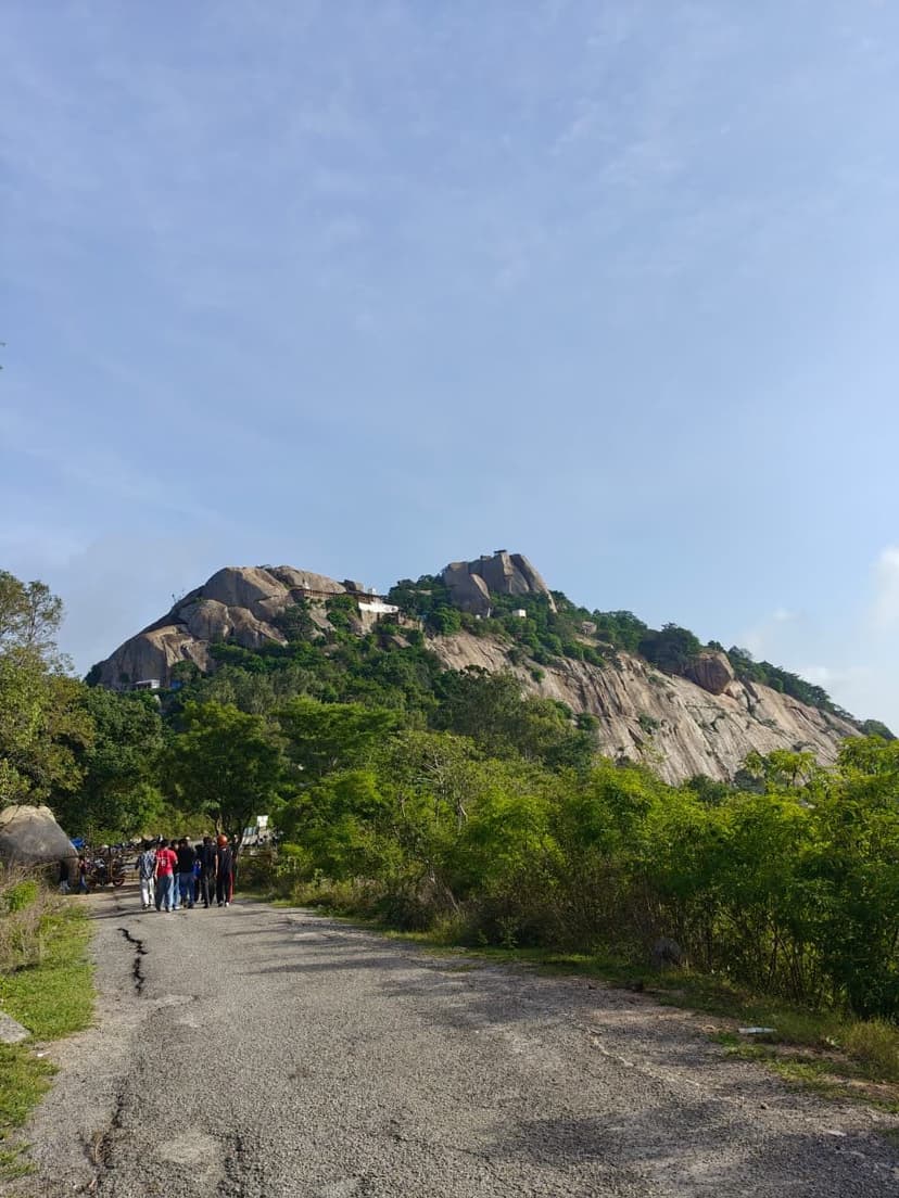
Siddarabetta is a granite hill of boulder caves, with a shrine to Siddalingeshwara set inside the rock and the dry-stone walls of a ruined fort on its summit. The name means "hill of the Siddhas": local tradition holds that ascetic healers meditated in its caves, and the hill is still known for the medicinal plants on its slopes. The route starts as a stairway used by pilgrims, and the steps give way to bare rock fitted with railings, then a stretch of loose stones. Near the top the path reaches the cave system around the shrine. The passages are narrow, dark and branch in several directions, and it is easy to lose your bearings inside without a torch. Above the caves the hill flattens into a grassland summit scattered with lichen-stained boulders. Crumbling stone ramparts cross it, and some walls are still pierced with loopholes. Open granite slabs on the summit's edge slope steeply down to the farmland below.
Trail Information#
Pilgrim Steps
The trail leaves the base on a built stone stairway. This is the steepest stretch of the hike: the first kilometre climbs roughly 260 m, almost all of it on steps. Pilgrims use the stairway throughout the day, so expect to share it.
Railed Rock Section
Partway up, the steps end and the path crosses bare granite. Metal railings are fixed along the steeper rock. After the railings comes a stretch of loose stones that shifts underfoot, especially on the way down.
Cave Shrine
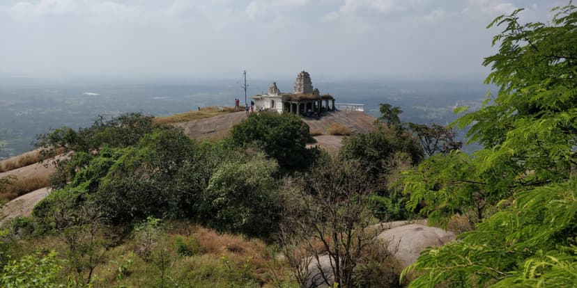
The Siddalingeshwara shrine sits inside a cluster of boulders near the top of the climb. The caves around it are narrow and unlit, and the passages branch. Go in only with a torch, and preferably with someone who knows the layout.
Summit Grassland
Above the caves the gradient eases onto an open grassland ridge that rises gently for about a kilometre. Large lichen-covered boulders stand on the grass, and the ground is patchy with loose stones and small cairns.
Fort Ramparts
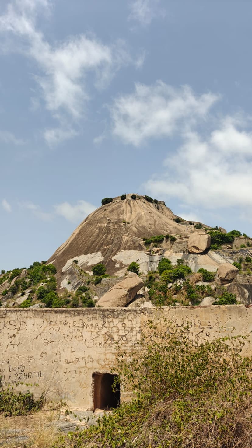
The high point is ringed by ruined dry-stone fort walls, some with loopholes still intact. Unmarked paths loop around the ramparts and out to exposed granite slabs on the summit's edge. The slabs slope steeply and are slick when wet, so stay back from the edge after rain. Return the way you came.
Getting there#
Trail route
Route flyby#
Preview the terrain before you go — a 3D fly-through of the full route.
Trail reports#
Trail conditions and experiences shared by hikers who've done this route
No trail reports yet
Be the first to share current conditions — trail state, crowd levels, water availability, or anything others should know before going.
GPX file#
Download the GPX route to use with your GPS device or hiking app. Learn how to use GPX files. To protect our trail data from bulk harvesting, downloads are limited to one per account per week.
Sign in to download
Create a free account to download the GPX file and use it with your GPS device or hiking app.