Distance
3.47 km
Elevation gain
201 m
Route type
out-and-back
Peaks on this trail
About this trail#
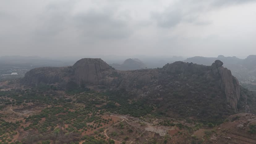
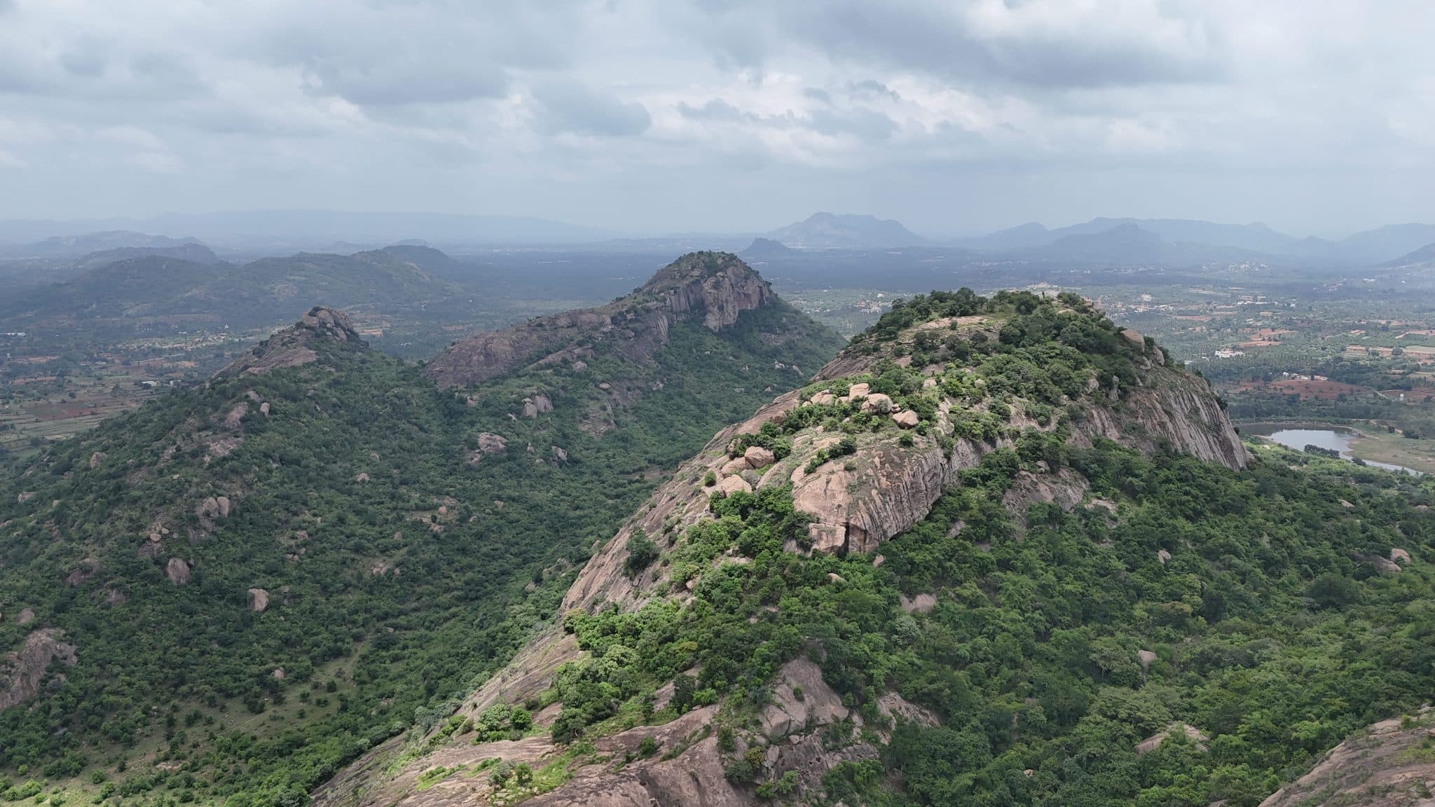
Bananthimari Betta, locally known as Karadi Betta, consists of two rocky hillocks within Bananthimari Reserve Forest. This trail leads to Chikkabananthamari, the smaller of the two peaks, starting from Bananthimari Temple. The lower section passes through bamboo vegetation and a small pond before entering the rocky forest. The route climbs through large boulders and rocky outcrops, including formations resembling caves, with a viewpoint towards the surrounding lakes. Higher up, the terrain becomes steeper and involves scrambling over rocks, with a section providing a view of the Arkavathi River. The trail ends at a broad, relatively flat summit, from where Bananthimari Temple and the larger Bananthimari hill are visible.
Trail Information#
Bananthimari Temple to Pond
The trail starts at Bananthimari Temple and follows a broad, mostly straightforward path towards the pond. Just beside the temple, on the right, a small and almost hidden trail leads to a shallow stepwell located inside the vegetation. The well is accessed by steps and is not very deep.
Pond to Anjaneya Temple
Beyond the pond, the trail passes through a bamboo-covered section, with bamboo growing on both sides of the path. A small rock sits inside the pond and cannot be reached directly from the bank; reaching it requires entering the water. Another larger rock nearby has a small shrine at its top, accessed by a short ladder.
Anjaneya Temple to Monolith
Near the Anjaneya Temple, the trail splits, with one route leading towards an open area and another continuing through the rocky section. This part of the trail is slippery when wet, with a rock face on one side and a deep drop on the other. Cave-like rock formations are visible on the right side of the trail.
Scrambling to the Peak
Beyond the rocky section, the trail becomes steep and requires scrambling over rocks. The climb involves using both hands and legs in places. Along this section, there is a point from where the Arkavathi River can be seen.
Summit
The summit is relatively flat and allows exploration across the top of the hill. From one point, the Bananthimari Temple where the hike begins is visible below. The larger Bananthimari hill is also visible from the summit.
Getting there#
Trail route
Route flyby#
Preview the terrain before you go — a 3D fly-through of the full route.
Trail reports#
Trail conditions and experiences shared by hikers who've done this route

GPX file#
Download the GPX route to use with your GPS device or hiking app. Learn how to use GPX files. To protect our trail data from bulk harvesting, downloads are limited to one per account per week.
🗺️
Sign in to download
Create a free account to download the GPX file and use it with your GPS device or hiking app.
Wildlife & Nature#
As per the Forest Department, bears and leopards have been sighted in the area.
Camping#
Camping is not allowed on this trail.