Distance
4.39 km
Elevation gain
434 m
Route type
out-and-back
Peaks on this trail
About this trail#
Shivagange Betta is a rocky pilgrimage hill centred around the Gangadhareshwara Temple and a series of shrines and sacred water points. The route climbs through human-made and rock-cut steps, with the Gangadhareshwara and Honnammadevi temples near the lower section. Further along, the trail passes Olakal Teertha, a spring set within a small rock opening, before becoming steeper and narrower towards the upper slopes. Railings assist along the more exposed sections. Near the summit are Shiva and Parvathi statues and the rock-cut Nandi, or Basavanna, positioned on a steep rocky section. Other religious landmarks on the hill include Patalaganga, Nandi Statue and several theerthas.
ContributorsVVallabh Deshpande
Trail Information#
The trail begins near the Gangadhareshwara and Honnammadevi cave temples, with steps leading up the rocky hillside. From the Gangadhareshwara Temple, the main path continues uphill through sections of rock-cut and constructed steps, passing several religious landmarks along the ascent. Midway, Olakal Teertha is reached through a small rock opening containing a spring. Beyond this section, the route continues towards the Shiva and Parvathi statues before becoming steeper and narrower. Railings are provided along the exposed sections near the upper slopes. The final stretch leads to the summit area, where the rock-cut Nandi (Basavanna) is located on the steep rock face. Other sacred sites on the hill include Patalaganga, Agasthya Teertha, Kanva Teertha and Kapila Teertha.
Getting there#
Trail route
Route flyby#
Preview the terrain before you go — a 3D fly-through of the full route.
Trail reports#
Trail conditions and experiences shared by hikers who've done this route


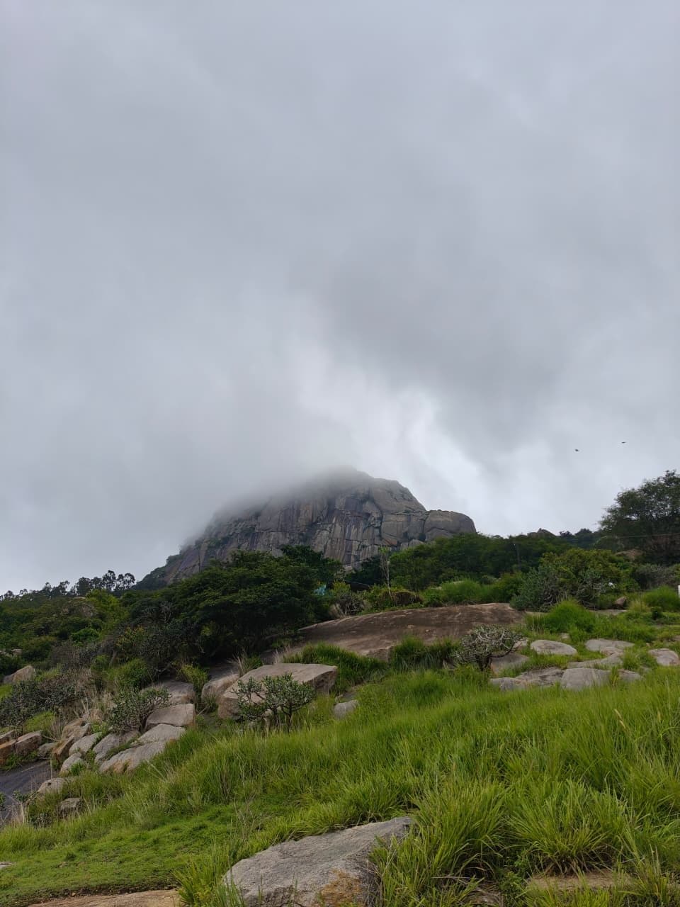
We reached the bottom of Shivagange Betta with the peak covered in fog, but the fog had cleared by the time we reached the upper sections. The trail was heavily crowded during our visit, with a mix of devotees and trekkers using the route. Monkeys were also active along the trail and were seen approaching people, including at narrow sections where there was little room to move aside. Several railings along the route appeared heavily rusted. Some of these railings are used as support on steeper sections, but their condition made them unreliable during our visit. Overall, the heavy crowds, active monkeys and deteriorating railings significantly affected the experience on the trail.
Read the full write-up ↗GPX file#
Download the GPX route to use with your GPS device or hiking app. Learn how to use GPX files. To protect our trail data from bulk harvesting, downloads are limited to one per account per week.
🗺️
Sign in to download
Create a free account to download the GPX file and use it with your GPS device or hiking app.
